Medium airport · Argentina

San Fernando AirportSADF
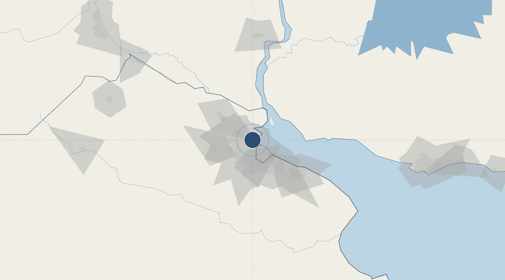
-34.4532°, -58.5896°
5,909 ft
Longest runway
1
Runways
10 ft
Elevation

Runway & Layout

San Fernando Airport runway & taxiway layout
Runway & taxiway layout — OpenStreetMap (ODbL) / OurAirports

Radio Frequencies

TWR
120.7 MHz
FERNANDO TWR
GND
121.65 MHz
OurAirports

Navaids

FDO VOR-DME San Fernando 114.40 MHz
OurAirports

Runways · 1

RunwayDimensions SurfaceTrue headingLit
5/23 5,909 × 98ft Asphalt 044°
OurAirports

Airport Specifications

ICAO code
SADF
OurAirports
Airport class
Medium airport
OurAirports
Scheduled service
No
OurAirports
Runway surface
Asphalt
OurAirports
Served city
San Fernando
OurAirports

Location

Location of SADF
Natural Earth 10m (public domain) · Buenos Aires · SADF · -34.45, -58.59GoogleOSMYandex

Nearby Logistics Neighbours

Airports
  1. 1El Palomar Airport18 km
  2. 2Aeroparque Jorge Newbery20 km
  3. 3Ezeiza International Airport - Ministro Pistarini41 km
  4. 4La Plata Airport86 km
  5. 5Gualeguaychu Airport161 km
Nearest neighbours — logibook spatial index (haversine) over the source coordinates
Cities
  1. 1Tigre4 km
  2. 2Victoria5 km
  3. 3Vicente López12 km
  4. 4Villa Bosch15 km
  5. 5José C. Paz16 km
Nearest neighbours — logibook spatial index (haversine) over the source coordinates
Ports
  1. 1Buenos Aires26 km
  2. 2Campana48 km
  3. 3Zarate58 km
  4. 4Nueva Palmira65 km
  5. 5Colonia68 km
Nearest neighbours — logibook spatial index (haversine) over the source coordinates
Trade Zones
  1. 1Zona Sur Buenos Aires23 km
  2. 2Montes de Plata Free Zone55 km
  3. 3Nueva Palmira Free Zone65 km
  4. 4Colonia Free Zone70 km
  5. 5La Plata Free Trade Zone77 km
Nearest neighbours — logibook spatial index (haversine) over the source coordinates
DatabookThe Record of Consolidated Knowledge
Argentina beyond logistics?
Browse databook

All Sources

AirportsOurAirports
Public domain
Portsthe NGA World Port Index
Public domain (US gov)
LocationsUN/LOCODE
UN/LOCODE — free
Trade Zonesthe World Bank SEZ database
CC BY 4.0
Trade ZonesOpen Zone Map
CC BY
InfrastructureOpenStreetMap
ODbL 1.0
← Argentina airports