UN/LOCODE hub · Argentina
ARBUI

Ingeniero Buitrago

-33.3500°, -60.1333°
1
Transport functions

Transport Functions

Port
UN/LOCODE

Hub Profile

Region
B
GeoNames

Location

Location of ARBUI
Natural Earth 10m (public domain) · B · ARBUI · -33.35, -60.13GoogleOSMYandex

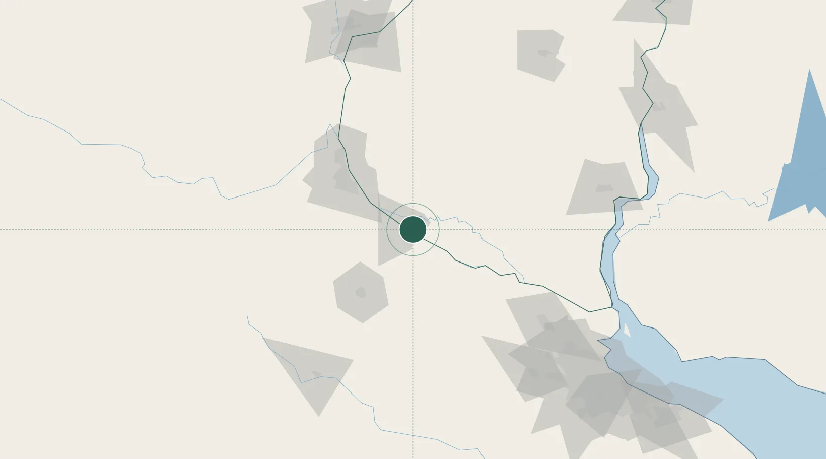
Nearby Logistics Neighbours

Cities
  1. 1San Nicolás de los Arroyos10 km
  2. 2Villa Constitución23 km
  3. 3Arroyo Seco37 km
  4. 4Alvear57 km
  5. 5Rosario64 km
Nearest neighbours — logibook spatial index (haversine) over the source coordinates
Ports
  1. 1San Nicolas10 km
  2. 2Ramallo18 km
  3. 3Villa Constitucion23 km
  4. 4San Pedro39 km
  5. 5Rosario64 km
Nearest neighbours — logibook spatial index (haversine) over the source coordinates
Airports
  1. 1(Duplicate)Aeropuerto Pergamino73 km
  2. 2Rosario Islas Malvinas International Airport78 km
  3. 3Gualeguaychu Airport147 km
  4. 4General Urquiza Airport176 km
  5. 5San Fernando Airport188 km
Nearest neighbours — logibook spatial index (haversine) over the source coordinates
Trade Zones
  1. 1Nueva Palmira Free Zone170 km
  2. 2Zona Franca UPM177 km
  3. 3UPM Fray Bentos Free Zone177 km
  4. 4Zona Sur Buenos Aires208 km
  5. 5Montes de Plata Free Zone215 km
Nearest neighbours — logibook spatial index (haversine) over the source coordinates
DatabookThe Record of Consolidated Knowledge
Argentina beyond logistics?
Browse databook

All Sources

LocationsUN/LOCODE
UN/LOCODE — free
Portsthe NGA World Port Index
Public domain (US gov)
AirportsOurAirports
Public domain
Trade Zonesthe World Bank SEZ database
CC BY 4.0
Trade ZonesOpen Zone Map
CC BY
← Argentina locations