UN/LOCODE hub · Argentina
ARASO
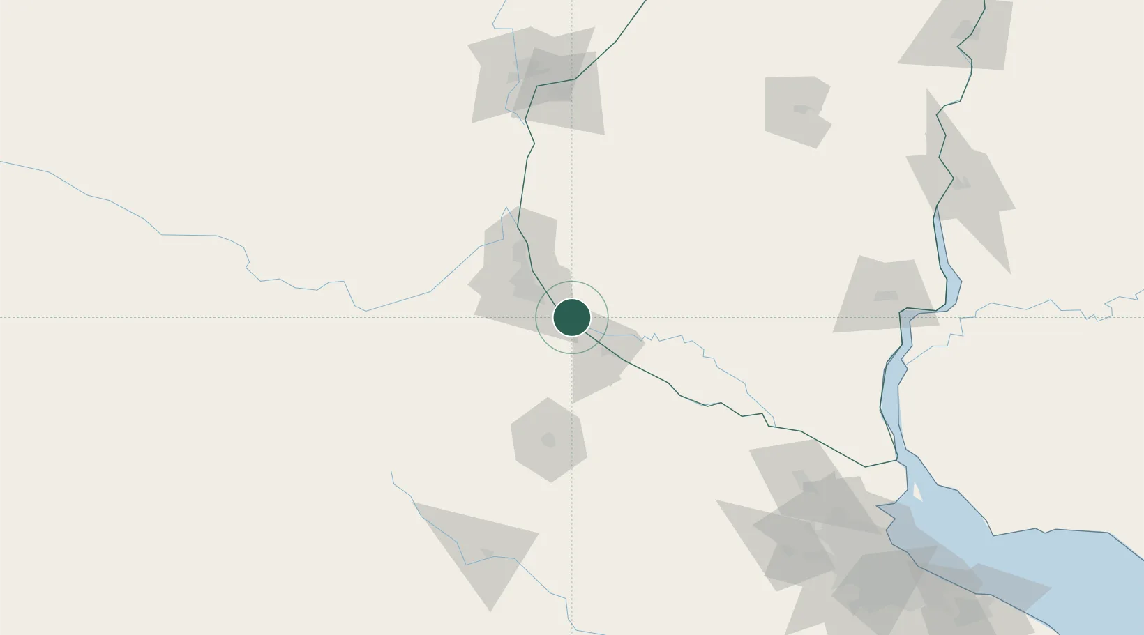
Arroyo Seco
-33.1333°, -60.4333°
20,620
Population
1
Transport functions
Transport Functions
Port
Hub Profile
Place type
Populated place
Region
Santa Fe
Population
20,620
Time zone
America/Argentina/Cordoba
Elevation
31 m
Location
Nearby Logistics Neighbours
Cities
- 1Villa Constitución15 km
- 2Rosario27 km
- 3San Nicolás de los Arroyos29 km
- 4Soldini32 km
- 5Ingeniero Buitrago37 km
Ports
- 1Villa Constitucion15 km
- 2Rosario28 km
- 3San Nicolas29 km
- 4San Lorenzo51 km
- 5Puerto San Martin54 km
Airports
Trade Zones
- 1Zona Franca UPM203 km
- 2UPM Fray Bentos Free Zone203 km
- 3Nueva Palmira Free Zone205 km
- 4Zona Sur Buenos Aires245 km
- 5Montes de Plata Free Zone252 km
DatabookThe Record of Consolidated Knowledge
Argentina beyond logistics?