UN/LOCODE hub · Argentina
ARVCN
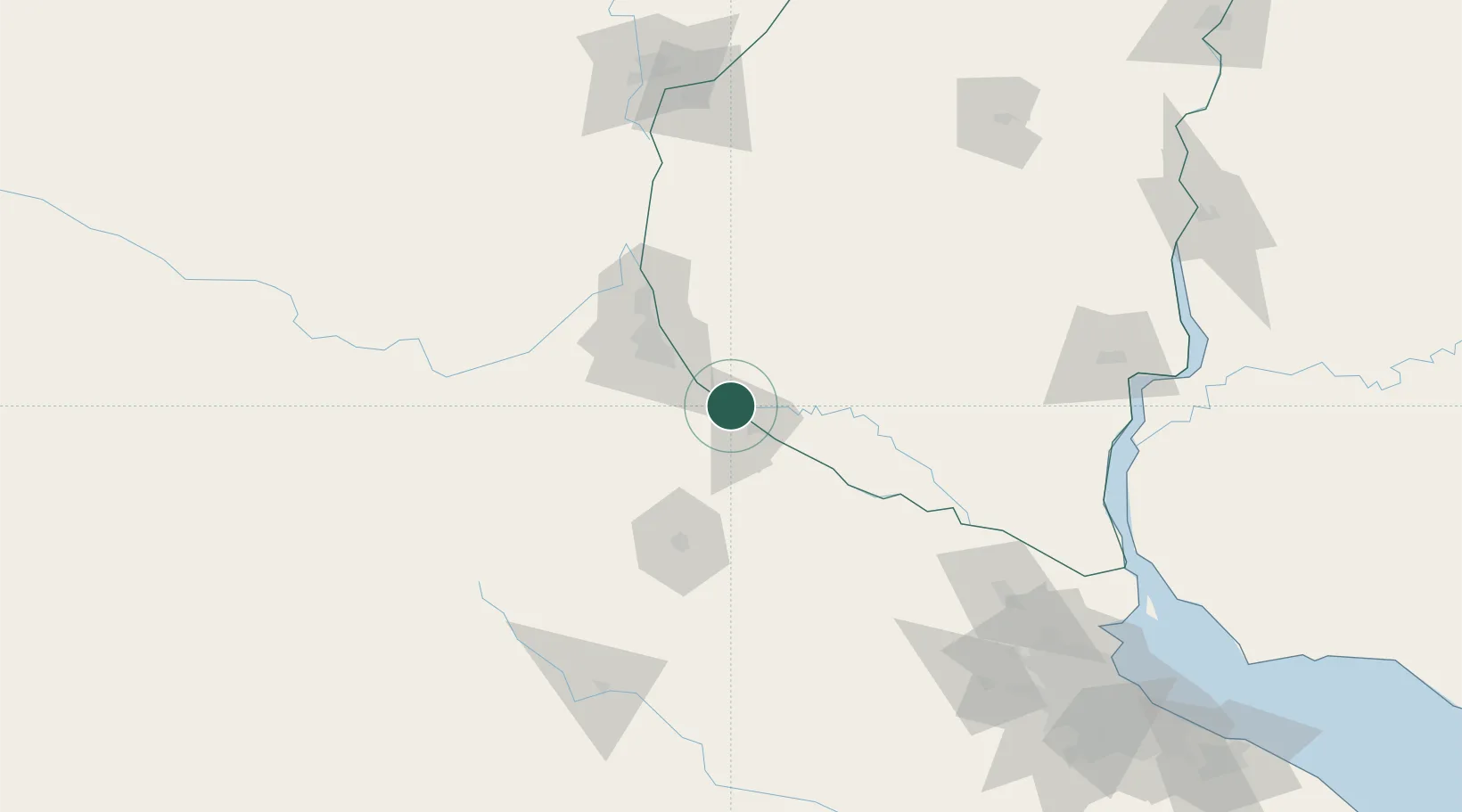
Villa Constitución
-33.2333°, -60.3333°
44,271
Population
3
Transport functions
Transport Functions
Port
Rail
Road
Hub Profile
Place type
Provincial seat
Region
Santa Fe
Population
44,271
Time zone
America/Argentina/Cordoba
Elevation
32 m
Logistics facilities
1
Location
Nearby Logistics Neighbours
Cities
- 1San Nicolás de los Arroyos15 km
- 2Arroyo Seco15 km
- 3Ingeniero Buitrago23 km
- 4Rosario42 km
- 5Soldini45 km
Ports
- 1San Nicolas15 km
- 2Ramallo41 km
- 3Rosario42 km
- 4San Pedro62 km
- 5San Lorenzo65 km
Airports
Trade Zones
- 1Nueva Palmira Free Zone192 km
- 2Zona Franca UPM194 km
- 3UPM Fray Bentos Free Zone194 km
- 4Zona Sur Buenos Aires230 km
- 5Montes de Plata Free Zone238 km
DatabookThe Record of Consolidated Knowledge
Argentina beyond logistics?