Transport Functions
Port
Rail
Hub Profile
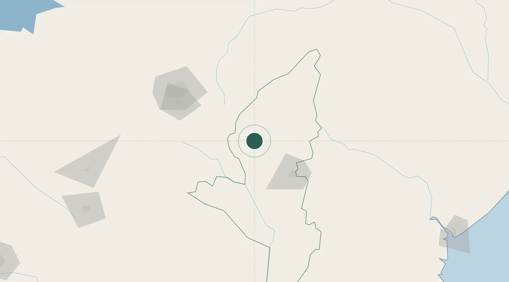
Place type
Populated place
Region
Manicaland
Population
37,906
Time zone
Africa/Harare
Elevation
1,415 m
Location
Nearby Logistics Neighbours
Cities
- 1Mutare77 km
- 2Mutoko127 km
- 3Marlborough129 km
- 4Chimanimani161 km
- 5Norton166 km
Ports
- 1Beira320 km
- 2Chinde462 km
- 3Quelimane509 km
- 4Porto Belo543 km
- 5Pebane654 km
Airports
- 1Mutoko Airport123 km
- 2Robert Gabriel Mugabe International Airport127 km
- 3Chimoio Airport154 km
- 4Masvingo International Airport215 km
- 5Josiah Tungamirai Air Force Base258 km
DatabookThe Record of Consolidated Knowledge
Zimbabwe beyond logistics?