Large airport · Zimbabwe

Robert Gabriel Mugabe International AirportFVHA
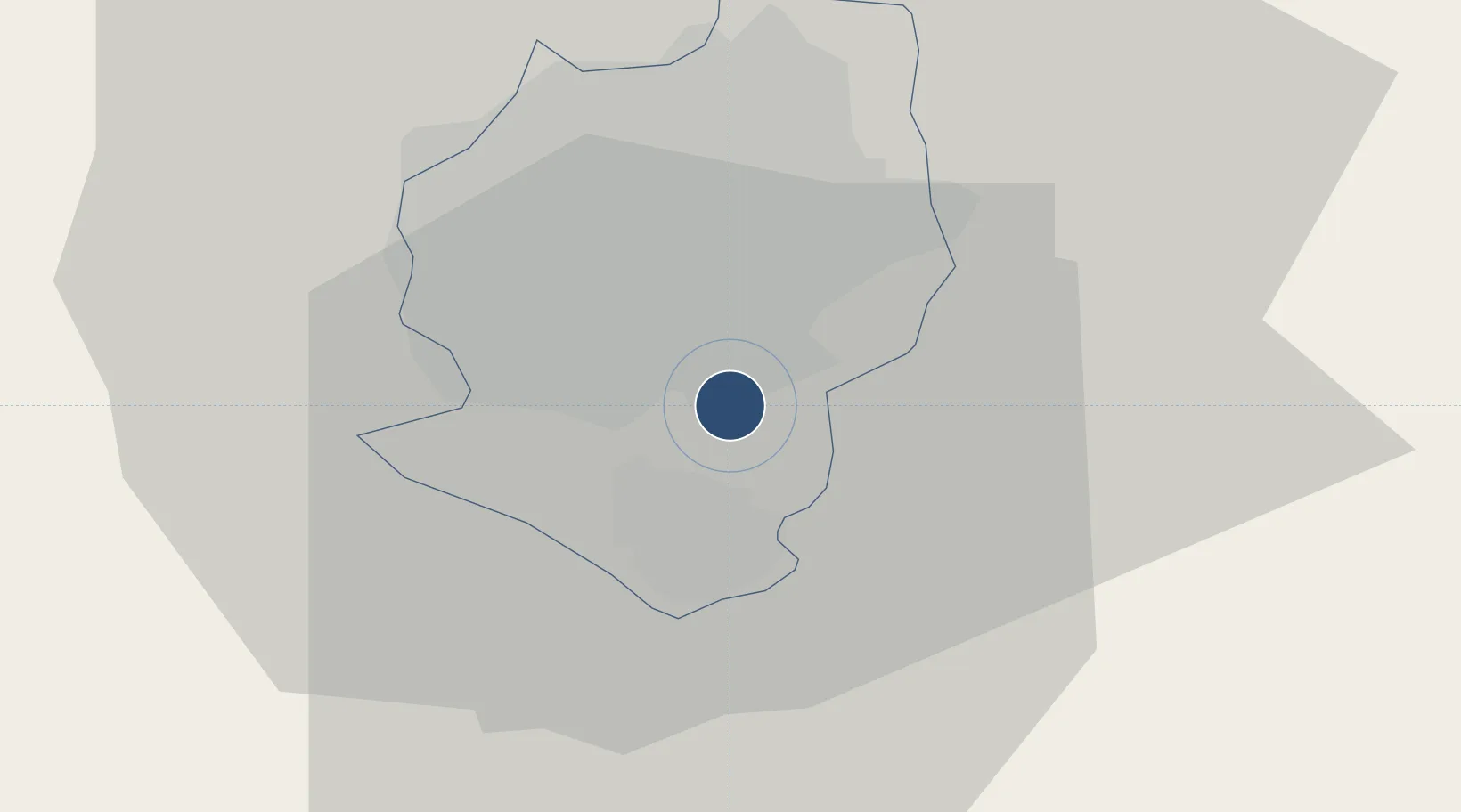
-17.9318°, 31.0928°
15,502 ft
Longest runway
1
Runways
4,887 ft
Elevation

Runway & Layout

Robert Gabriel Mugabe International Airport runway & taxiway layout
Runway & taxiway layout — OpenStreetMap (ODbL) / OurAirports

Radio Frequencies

ATIS
113.1 MHz
TWR
118.1 MHz
GND
127.3 MHz
APP
119.1 MHz
OurAirports

Runways · 1

RunwayDimensions SurfaceTrue headingLit
05/23 15,502 × 151ft Asphalt 046°
OurAirports

Airport Specifications

IATA code
HRE
OurAirports
ICAO code
FVRG
OurAirports
Airport class
Large airport
OurAirports
Scheduled service
Yes
OurAirports
Runway surface
Asphalt
OurAirports
Served city
Harare
OurAirports

Location

Location of FVHA
Natural Earth 10m (public domain) · Harare · FVHA · -17.93, 31.09GoogleOSMYandex

Nearby Logistics Neighbours

Airports
  1. 1Mutoko Airport128 km
  2. 2Josiah Tungamirai Air Force Base212 km
  3. 3Masvingo International Airport237 km
  4. 4Chimoio Airport281 km
  5. 5Kariba Airport282 km
Nearest neighbours — logibook spatial index (haversine) over the source coordinates
Cities
  1. 1Marlborough24 km
  2. 2Norton42 km
  3. 3Chegutu102 km
  4. 4Rusape127 km
  5. 5Mutoko133 km
Nearest neighbours — logibook spatial index (haversine) over the source coordinates
Ports
  1. 1Beira447 km
  2. 2Chinde575 km
  3. 3Quelimane613 km
  4. 4Porto Belo645 km
  5. 5Pebane752 km
Nearest neighbours — logibook spatial index (haversine) over the source coordinates
Trade Zones
  1. 1Workington Tradekings Special Economic Zone13 km
  2. 2Sunway City Special Economic Zone13 km
  3. 3Berhard Diamond & Jewellery Park16 km
  4. 4Arcadia Lithium Project Special Economic Zone30 km
  5. 5Ecosoft Special Economic Zone32 km
Nearest neighbours — logibook spatial index (haversine) over the source coordinates
DatabookThe Record of Consolidated Knowledge
Zimbabwe beyond logistics?
Browse databook

All Sources

AirportsOurAirports
Public domain
Portsthe NGA World Port Index
Public domain (US gov)
LocationsUN/LOCODE
UN/LOCODE — free
Trade Zonesthe World Bank SEZ database
CC BY 4.0
Trade ZonesOpen Zone Map
CC BY
InfrastructureOpenStreetMap
ODbL 1.0
← Zimbabwe airports