Charter City · Zambia

Nkwashi City Under Development
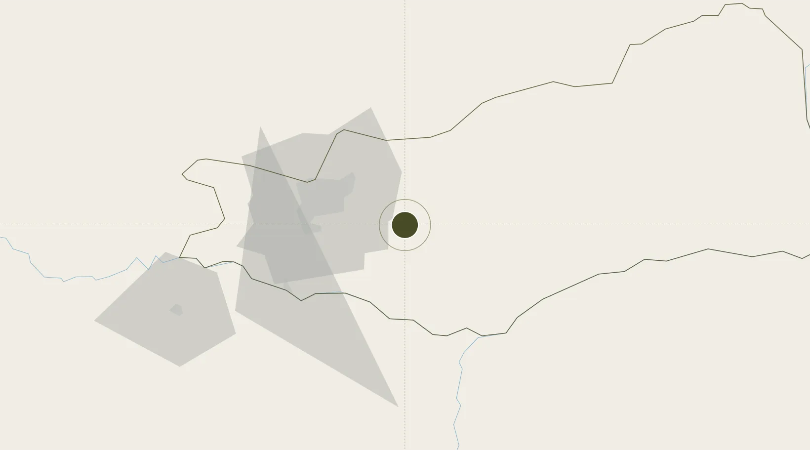
-15.5211°, 28.6441°
2 ha
Zone area
812.1 km
Nearest port
29.5 km
Nearest airport

Gateway access

Nearest neighbours — logibook spatial index (haversine) over the source coordinates

Zone profile

Zone type
Charter City
Open Zone Map
Region
Lusaka
Open Zone Map
Status
Under Development
Open Zone Map
Management
Public-Private Partnership
Open Zone Map
Operator
Thebe Investment Management, Ltd.
Open Zone Map
Legal framework
Charter Cities/Zambia Development Agency Memorandum of Understanding
Open Zone Map

Location

Location of ozm-5203
Natural Earth 10m (public domain) · Lusaka · ozm-5203 · -15.52, 28.64GoogleOSMYandex

Nearby Logistics Neighbours

Ports
  1. 1Beira812 km
  2. 2Chinde901 km
  3. 3Quelimane916 km
  4. 4Porto Belo942 km
  5. 5Pebane1032 km
Nearest neighbours — logibook spatial index (haversine) over the source coordinates
Airports
  1. 1Kenneth Kaunda International Airport30 km
  2. 2Lusaka City Airport36 km
  3. 3Kariba Airport114 km
  4. 4Peter Zuze Air Force Base281 km
  5. 5Simon Mwansa Kapwepwe International Airport285 km
Nearest neighbours — logibook spatial index (haversine) over the source coordinates
Cities
  1. 1Mazabuka102 km
  2. 2Siavonga113 km
  3. 3Gokwe301 km
  4. 4Kalulishi305 km
  5. 5Kalulushi305 km
Nearest neighbours — logibook spatial index (haversine) over the source coordinates
DatabookThe Record of Consolidated Knowledge
Zambia beyond logistics?
Browse databook

All Sources

Trade ZonesOpen Zone Map
CC BY
Portsthe NGA World Port Index
Public domain (US gov)
AirportsOurAirports
Public domain
LocationsUN/LOCODE
UN/LOCODE — free
← Zambia trade zones