Transport Functions
Multimodal
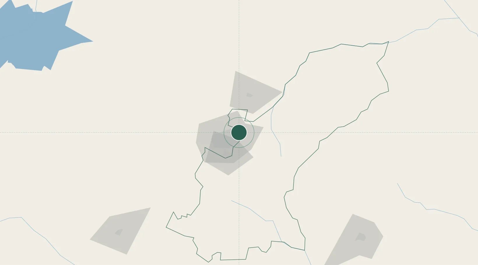
Hub Profile
Place type
Urban district
Region
Harare
Time zone
Africa/Harare
Elevation
1,475 m
Location
Nearby Logistics Neighbours
Ports
- 1Beira446 km
- 2Chinde566 km
- 3Quelimane600 km
- 4Porto Belo632 km
- 5Pebane737 km
Airports
- 1Robert Gabriel Mugabe International Airport24 km
- 2Mutoko Airport109 km
- 3Josiah Tungamirai Air Force Base236 km
- 4Masvingo International Airport259 km
- 5Chimoio Airport281 km
DatabookThe Record of Consolidated Knowledge
Zimbabwe beyond logistics?