Transport Functions
Multimodal
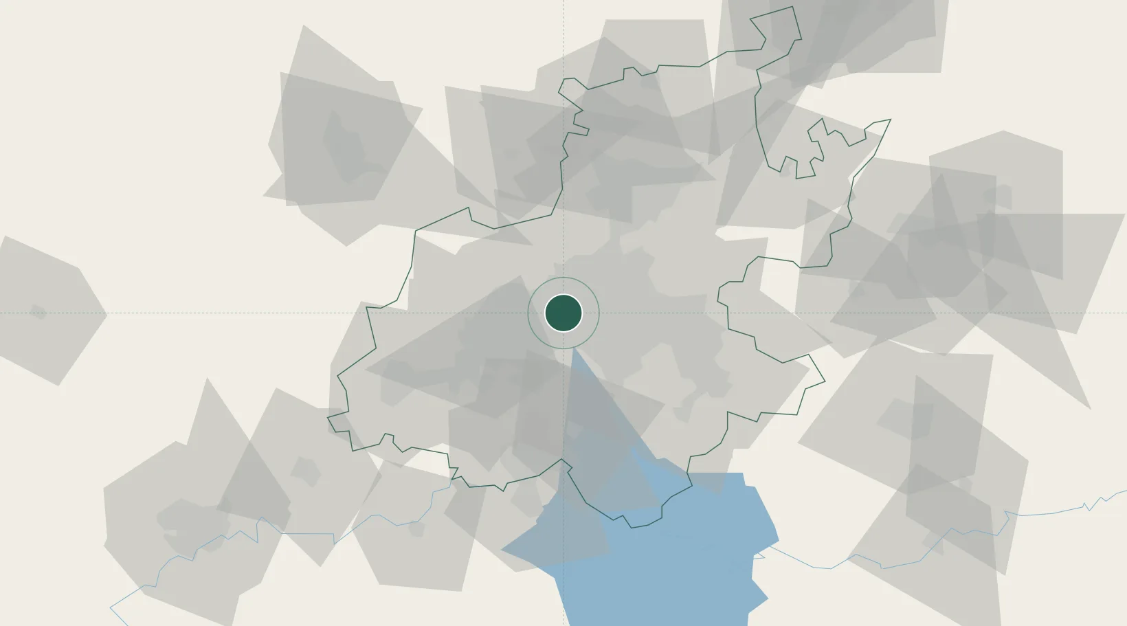
Hub Profile
Place type
Urban district
Region
Gauteng
Time zone
Africa/Johannesburg
Elevation
1,707 m
Location
Nearby Logistics Neighbours
Cities
- 1Maraisburg3 km
- 2Northcliff4 km
- 3Florida5 km
- 4Crown Mines6 km
- 5Craighall Park6 km
Ports
- 1Maputo458 km
- 2Richards Bay502 km
- 3Durban512 km
- 4East London764 km
- 5Inhambane789 km
Airports
- 1Rand Airport20 km
- 2Lanseria International Airport26 km
- 3Grand Central Airport27 km
- 4O.R. Tambo International Airport28 km
- 5Swartkop Air Force Base44 km
Trade Zones
DatabookThe Record of Consolidated Knowledge
South Africa beyond logistics?