Transport Functions
Rail
Road
Hub Profile
Place type
Urban district
Region
Gauteng
Time zone
Africa/Johannesburg
Elevation
1,780 m
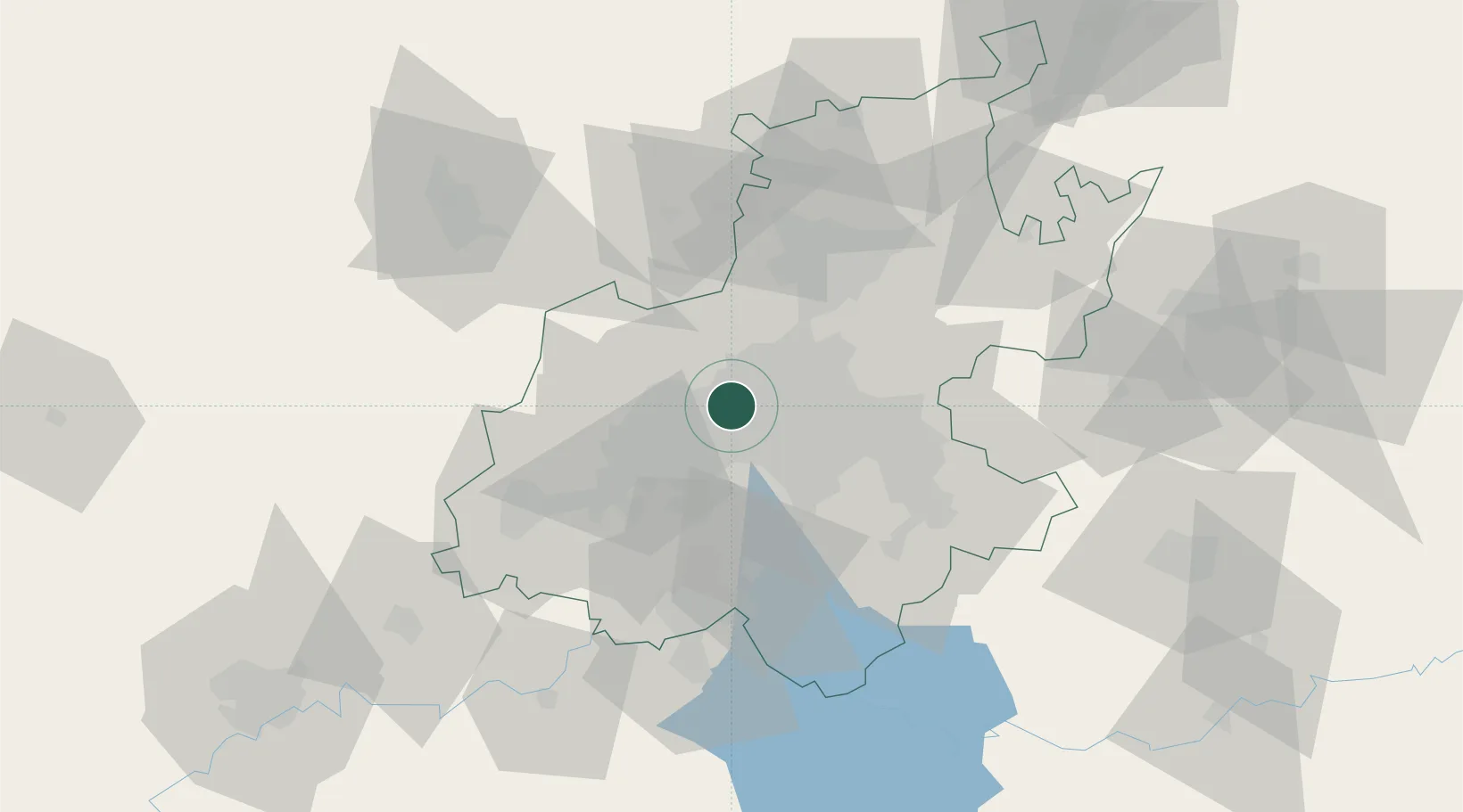
Location
Nearby Logistics Neighbours
Cities
- 1Weltevredenpark3 km
- 2Maraisburg4 km
- 3Newlands4 km
- 4Florida5 km
- 5Craighall Park7 km
Ports
- 1Maputo459 km
- 2Richards Bay506 km
- 3Durban516 km
- 4East London767 km
- 5Inhambane790 km
Airports
- 1Lanseria International Airport22 km
- 2Rand Airport24 km
- 3Grand Central Airport25 km
- 4O.R. Tambo International Airport30 km
- 5Swartkop Air Force Base42 km
Trade Zones
DatabookThe Record of Consolidated Knowledge
South Africa beyond logistics?