Transport Functions
Multimodal
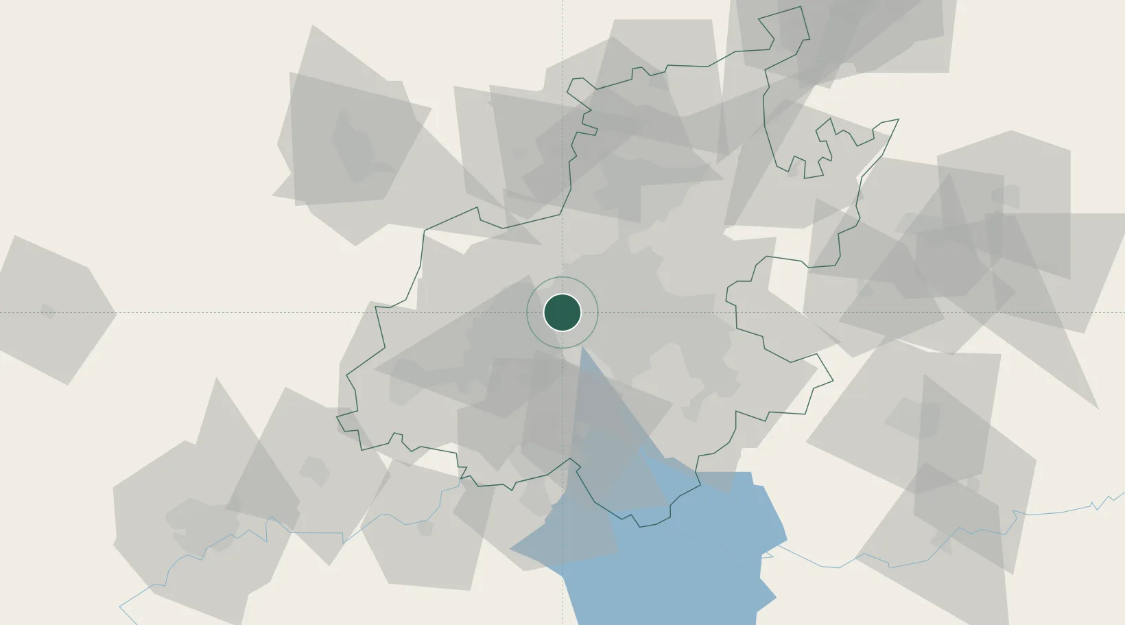
Hub Profile
Place type
Urban district
Region
Gauteng
Time zone
Africa/Johannesburg
Elevation
1,727 m
Location
Nearby Logistics Neighbours
Cities
- 1Florida2 km
- 2Newlands3 km
- 3Northcliff4 km
- 4Weltevredenpark6 km
- 5Crown Mines7 km
Ports
- 1Maputo461 km
- 2Richards Bay505 km
- 3Durban514 km
- 4East London764 km
- 5Inhambane793 km
Airports
- 1Rand Airport23 km
- 2Lanseria International Airport25 km
- 3Grand Central Airport29 km
- 4O.R. Tambo International Airport31 km
- 5Vereeniging Airport45 km
Trade Zones
DatabookThe Record of Consolidated Knowledge
South Africa beyond logistics?