UN/LOCODE hub · South Africa
ZAZBT
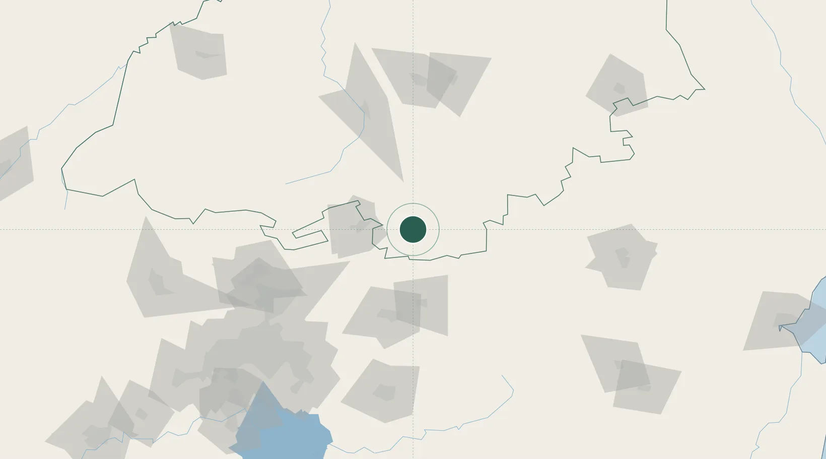
Groblersdal
-25.1500°, 29.3833°
4,925
Population
1
Transport functions
Transport Functions
Multimodal
Hub Profile
Place type
Provincial seat
Region
Mpumalanga
Population
4,925
Time zone
Africa/Johannesburg
Elevation
928 m
Location
Nearby Logistics Neighbours
Cities
- 1Marble Hall24 km
- 2Sunningdale91 km
- 3Ekandustria92 km
- 4Mookgophong97 km
- 5Naboomspruit97 km
Ports
- 1Maputo330 km
- 2Richards Bay488 km
- 3Durban550 km
- 4Inhambane624 km
- 5Beira814 km
Airports
- 1Wonderboom Airport129 km
- 2Pietersburg Municipal Airport137 km
- 3Waterkloof Air Force Base139 km
- 4Swartkop Air Force Base143 km
- 5Polokwane International Airport145 km
Trade Zones
DatabookThe Record of Consolidated Knowledge
South Africa beyond logistics?