Transport Functions
Multimodal
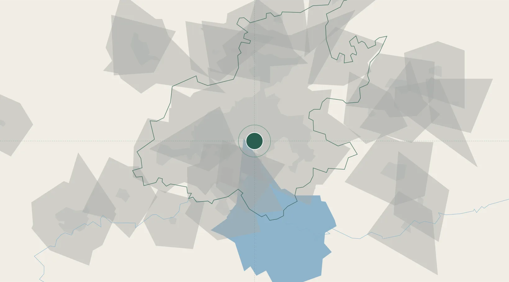
Hub Profile
Place type
Urban district
Region
Gauteng
Time zone
Africa/Johannesburg
Elevation
1,800 m
Location
Nearby Logistics Neighbours
Cities
- 1Rosettenville7 km
- 2Tulisa Park7 km
- 3Turffontein7 km
- 4North Riding8 km
- 5Langlaagte8 km
Ports
- 1Maputo447 km
- 2Richards Bay484 km
- 3Durban493 km
- 4East London749 km
- 5Inhambane783 km
Airports
- 1Rand Airport9 km
- 2O.R. Tambo International Airport24 km
- 3Vereeniging Airport32 km
- 4Grand Central Airport35 km
- 5Lanseria International Airport43 km
Trade Zones
DatabookThe Record of Consolidated Knowledge
South Africa beyond logistics?