Transport Functions
Multimodal
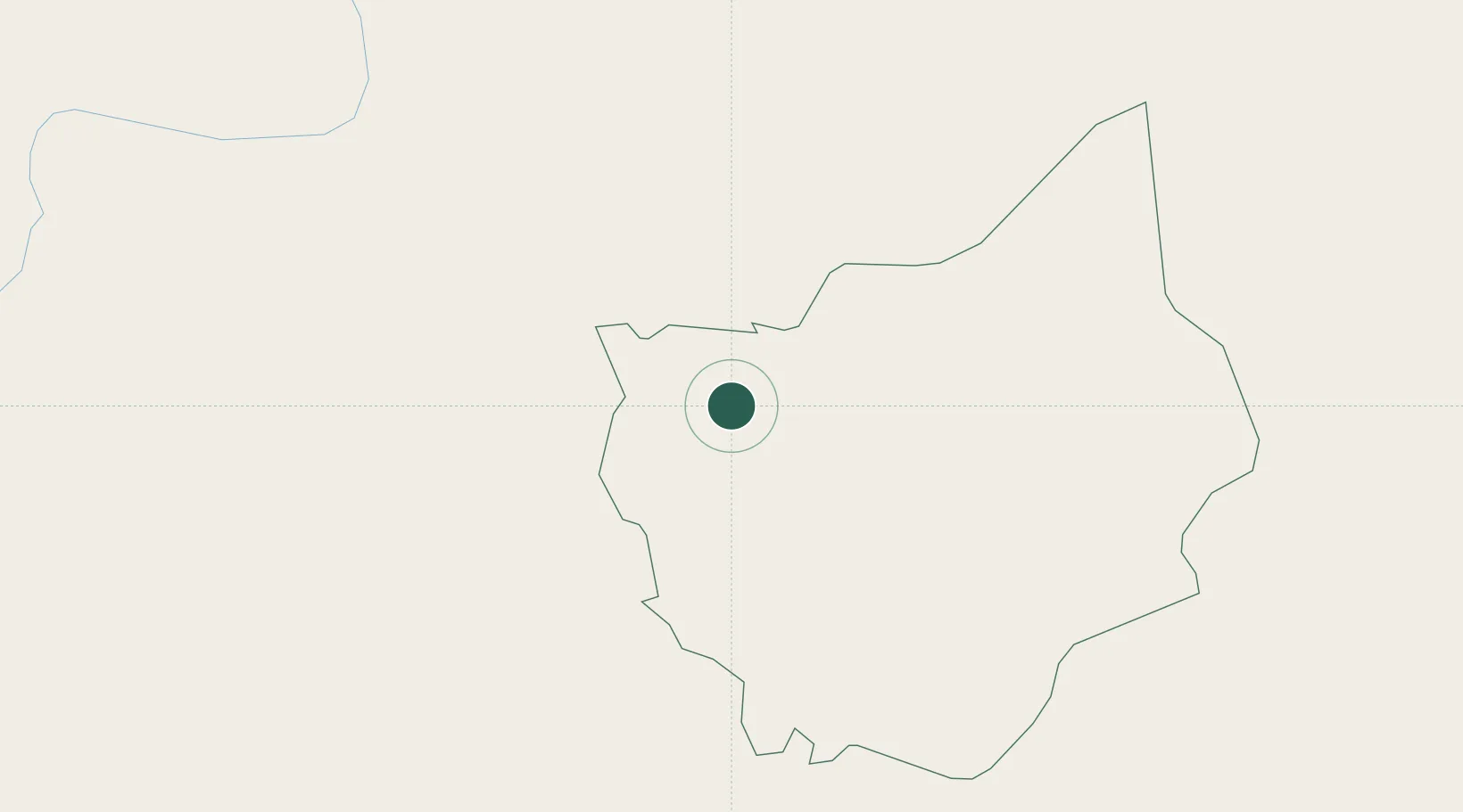
Hub Profile
Place type
Provincial seat
Region
Dong Nai
Time zone
Asia/Ho_Chi_Minh
Elevation
112 m
Location
Nearby Logistics Neighbours
Cities
- 1Phu Giáo72 km
- 2Tay Ninh82 km
- 3Thanh Phuoc Port90 km
- 4Tân Uyên90 km
- 5Thu Dau Mot98 km
Ports
- 1Thanh Hoa116 km
- 2Thanh Ho Chi Minh121 km
- 3Cat Lai124 km
- 4Phu My149 km
- 5Vung Tau178 km
Airports
Trade Zones
DatabookThe Record of Consolidated Knowledge
Vietnam beyond logistics?