Diversified Zone · Vietnam

Ming Hung - Korea Industrial Park Active
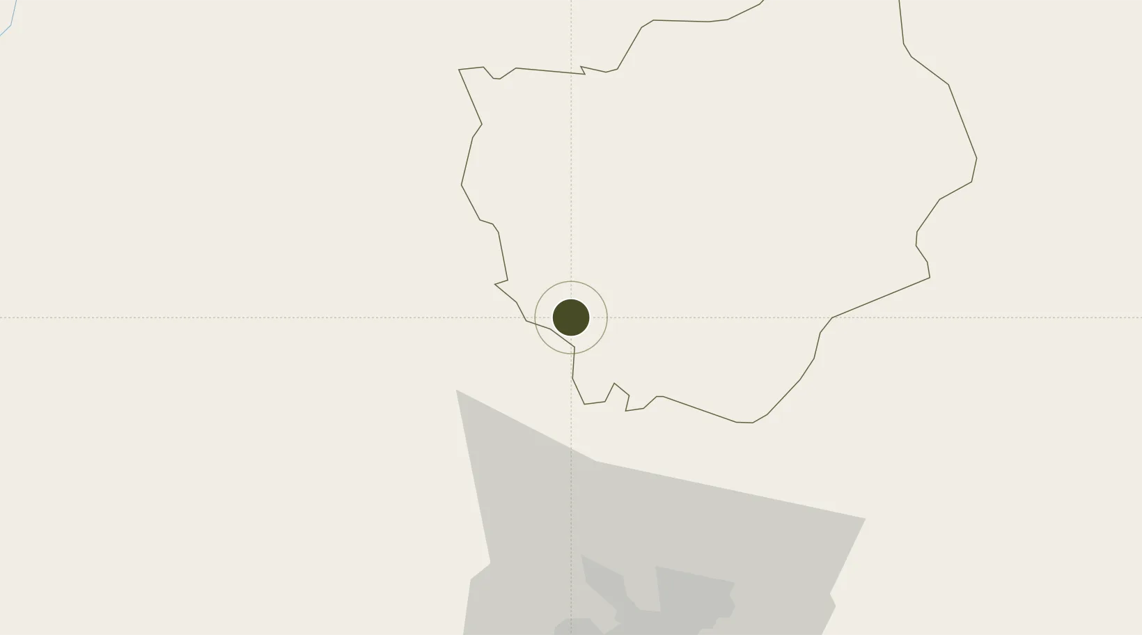
11.4884°, 106.6121°
393 ha
Zone area
76.6 km
Nearest port
74.6 km
Nearest airport

Gateway access

Nearest neighbours — logibook spatial index (haversine) over the source coordinates

Zone profile

Zone type
Diversified Zone
Open Zone Map
Region
Bình Phước
Open Zone Map
Status
Active
Open Zone Map
Management
Public-Private Partnership
Open Zone Map
Operator
C&N Vina Company
Open Zone Map
Legal framework
Decree No.82/2018/ND-CP on Management of Industrial Parks and Economic Zones, Decree No 218/2013/ND-CP
Open Zone Map

Location

Location of ozm-5067
Natural Earth 10m (public domain) · Bình Phước · ozm-5067 · 11.49, 106.61GoogleOSMYandex

Nearby Logistics Neighbours

Ports
  1. 1Thanh Hoa77 km
  2. 2Thanh Ho Chi Minh81 km
  3. 3Cat Lai84 km
  4. 4Phu My111 km
  5. 5Vung Tau139 km
Nearest neighbours — logibook spatial index (haversine) over the source coordinates
Airports
  1. 1Tan Son Nhat International Airport75 km
  2. 2Long Thanh International Airport (Under Construction)92 km
  3. 3Can Tho International Airport185 km
  4. 4Techo International Airport185 km
  5. 5Phnom Penh International Airport193 km
Nearest neighbours — logibook spatial index (haversine) over the source coordinates
Cities
  1. 1Phu Giáo33 km
  2. 2Loc Ninh40 km
  3. 3Thanh Phuoc Port51 km
  4. 4Tân Uyên51 km
  5. 5Thu Dau Mot58 km
Nearest neighbours — logibook spatial index (haversine) over the source coordinates
Trade Zones
  1. 1Chon Thanh I Industrial Zone11 km
  2. 2Dong Xoai I Industrial Zone26 km
  3. 3Bac Đồng Phú Industrial Zone30 km
  4. 4My Phuoc Industrial Zone40 km
  5. 5Viet Huong 2 Industrial Zone44 km
Nearest neighbours — logibook spatial index (haversine) over the source coordinates
DatabookThe Record of Consolidated Knowledge
Vietnam beyond logistics?
Browse databook

All Sources

Trade ZonesOpen Zone Map
CC BY
Portsthe NGA World Port Index
Public domain (US gov)
AirportsOurAirports
Public domain
LocationsUN/LOCODE
UN/LOCODE — free
← Vietnam trade zones