Transport Functions
Port
Road
Hub Profile
Place type
Regional capital
Region
Ho Chi Minh City (HCMC)
Population
373,105
Time zone
Asia/Ho_Chi_Minh
Elevation
20 m
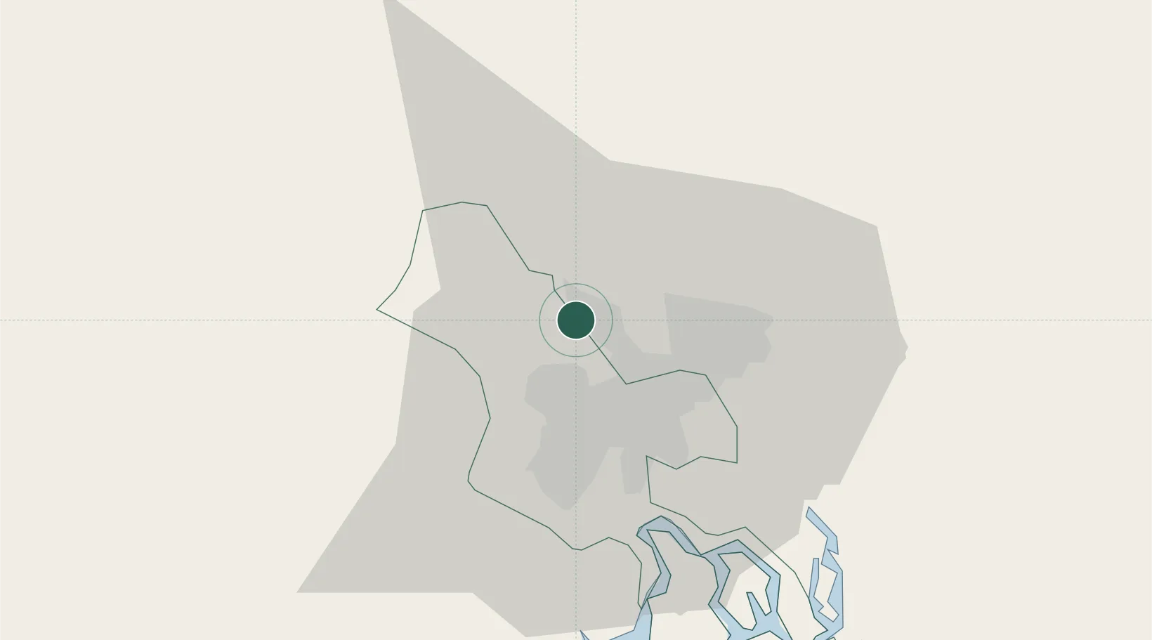
Location
Nearby Logistics Neighbours
Cities
- 1Binh Duong13 km
- 2Di An16 km
- 3Sai Gon Port18 km
- 4ICD TRANSIMEX THU DUC18 km
- 5Tan Binh19 km
Ports
- 1Thanh Hoa21 km
- 2Thanh Ho Chi Minh23 km
- 3Cat Lai28 km
- 4Phu My60 km
- 5Vung Tau85 km
Airports
Trade Zones
DatabookThe Record of Consolidated Knowledge
Vietnam beyond logistics?