Industrial Zone · Vietnam

Dong Xoai I Industrial Zone
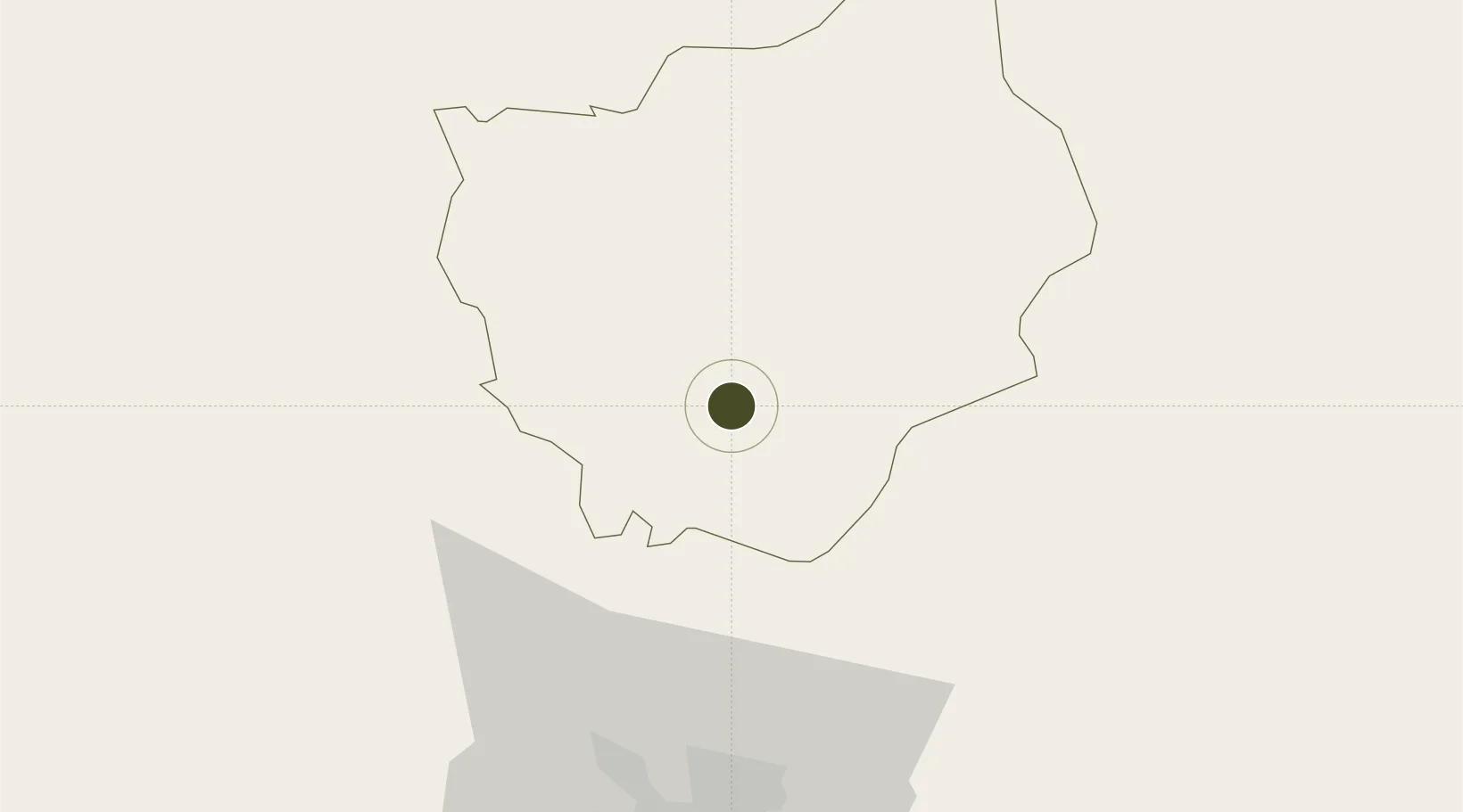
11.5204°, 106.8455°
154 ha
Zone area
78.7 km
Nearest port
80.8 km
Nearest airport

Gateway access

Nearest neighbours — logibook spatial index (haversine) over the source coordinates

Zone profile

Zone type
Industrial Zone
the World Bank SEZ database
Region
Bình Phước
the World Bank SEZ database
Established
2006
the World Bank SEZ database
Management
Public agency
the World Bank SEZ database
Operator
Binh Phuoc Province People's Committee
the World Bank SEZ database
Regulatory authority
Chairmen of Provincial People's Committees
the World Bank SEZ database
Legal framework
Law on Foreign Investment in Vietnam, 1996; Decree No. 36/1997/CP on The Regulation of Industrial, Economic and Export processing zones
the World Bank SEZ database

Location

Location of VNM450
Natural Earth 10m (public domain) · Bình Phước · VNM450 · 11.52, 106.85GoogleOSMYandex

Fiscal & incentives

Corporate tax
20%
the World Bank SEZ database
Tax relief
100% exempt
the World Bank SEZ database
Relief duration
4 years
the World Bank SEZ database
VAT
No exemption
the World Bank SEZ database
Import duty (inputs)
0% exempt
the World Bank SEZ database
Import duty (capex)
100% exempt
the World Bank SEZ database
Profit repatriation
No exemption
the World Bank SEZ database
Capital gains
No exemption
the World Bank SEZ database
Withholding tax
No exemption
the World Bank SEZ database
Min. investment
None
the World Bank SEZ database
Min. export
0%
the World Bank SEZ database
Employment incentive
No exemption
the World Bank SEZ database
Developer incentive
No established framework
the World Bank SEZ database

Nearby Logistics Neighbours

Ports
  1. 1Thanh Hoa79 km
  2. 2Thanh Ho Chi Minh85 km
  3. 3Cat Lai86 km
  4. 4Phu My106 km
  5. 5Vung Tau136 km
Nearest neighbours — logibook spatial index (haversine) over the source coordinates
Airports
  1. 1Tan Son Nhat International Airport81 km
  2. 2Long Thanh International Airport (Under Construction)86 km
  3. 3Lien Khuong Airport168 km
  4. 4Buon Ma Thuot Airport188 km
  5. 5Can Tho International Airport202 km
Nearest neighbours — logibook spatial index (haversine) over the source coordinates
Cities
  1. 1Phu Giáo36 km
  2. 2Loc Ninh45 km
  3. 3Thanh Phuoc Port51 km
  4. 4Tân Uyên51 km
  5. 5Thu Dau Mot65 km
Nearest neighbours — logibook spatial index (haversine) over the source coordinates
Trade Zones
  1. 1Bac Đồng Phú Industrial Zone7 km
  2. 2Ming Hung - Korea Industrial Park26 km
  3. 3Chon Thanh I Industrial Zone30 km
  4. 4My Phuoc Industrial Zone51 km
  5. 5Vsip Ii Industrial Zone52 km
Nearest neighbours — logibook spatial index (haversine) over the source coordinates
DatabookThe Record of Consolidated Knowledge
Vietnam beyond logistics?
Browse databook

All Sources

Trade Zonesthe World Bank SEZ database
CC BY 4.0
Portsthe NGA World Port Index
Public domain (US gov)
AirportsOurAirports
Public domain
LocationsUN/LOCODE
UN/LOCODE — free
← Vietnam trade zones