Transport Functions
Multimodal
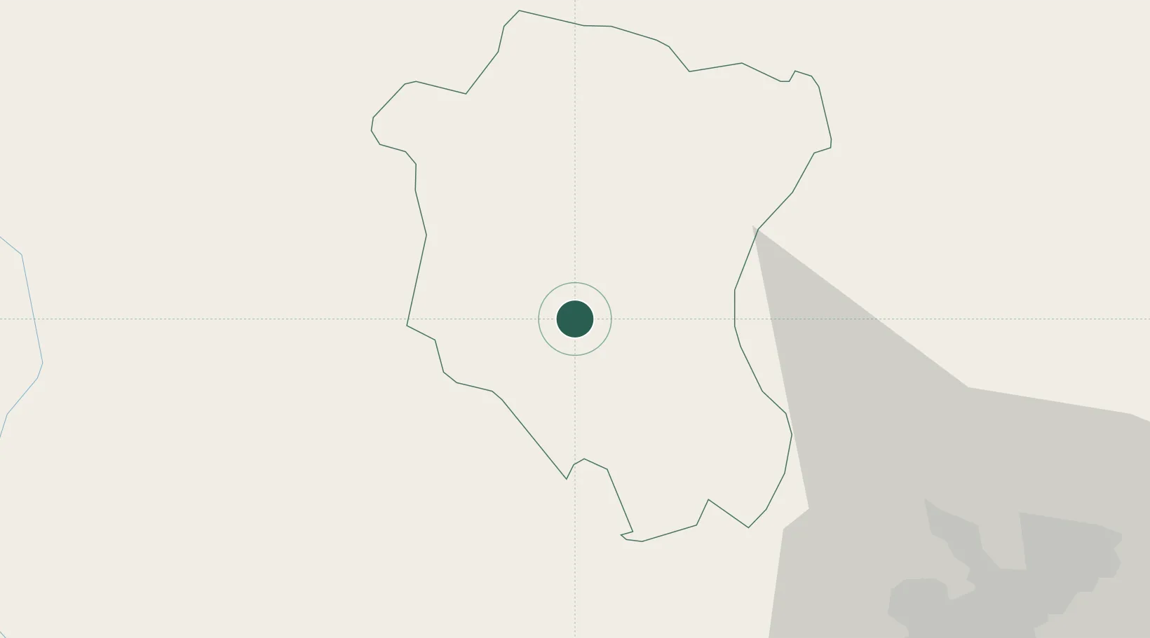
Hub Profile
Place type
Regional capital
Region
Tay Ninh
Population
135,254
Time zone
Asia/Ho_Chi_Minh
Elevation
18 m
Location
Nearby Logistics Neighbours
Cities
- 1Phu Giáo70 km
- 2Thu Dau Mot71 km
- 3Thanh Phuoc Port81 km
- 4Tân Uyên81 km
- 5Tan Binh82 km
Ports
- 1Thanh Ho Chi Minh90 km
- 2Thanh Hoa91 km
- 3Cat Lai96 km
- 4Phu My129 km
- 5Vung Tau152 km
Airports
Trade Zones
DatabookThe Record of Consolidated Knowledge
Vietnam beyond logistics?