Transport Functions
Multimodal
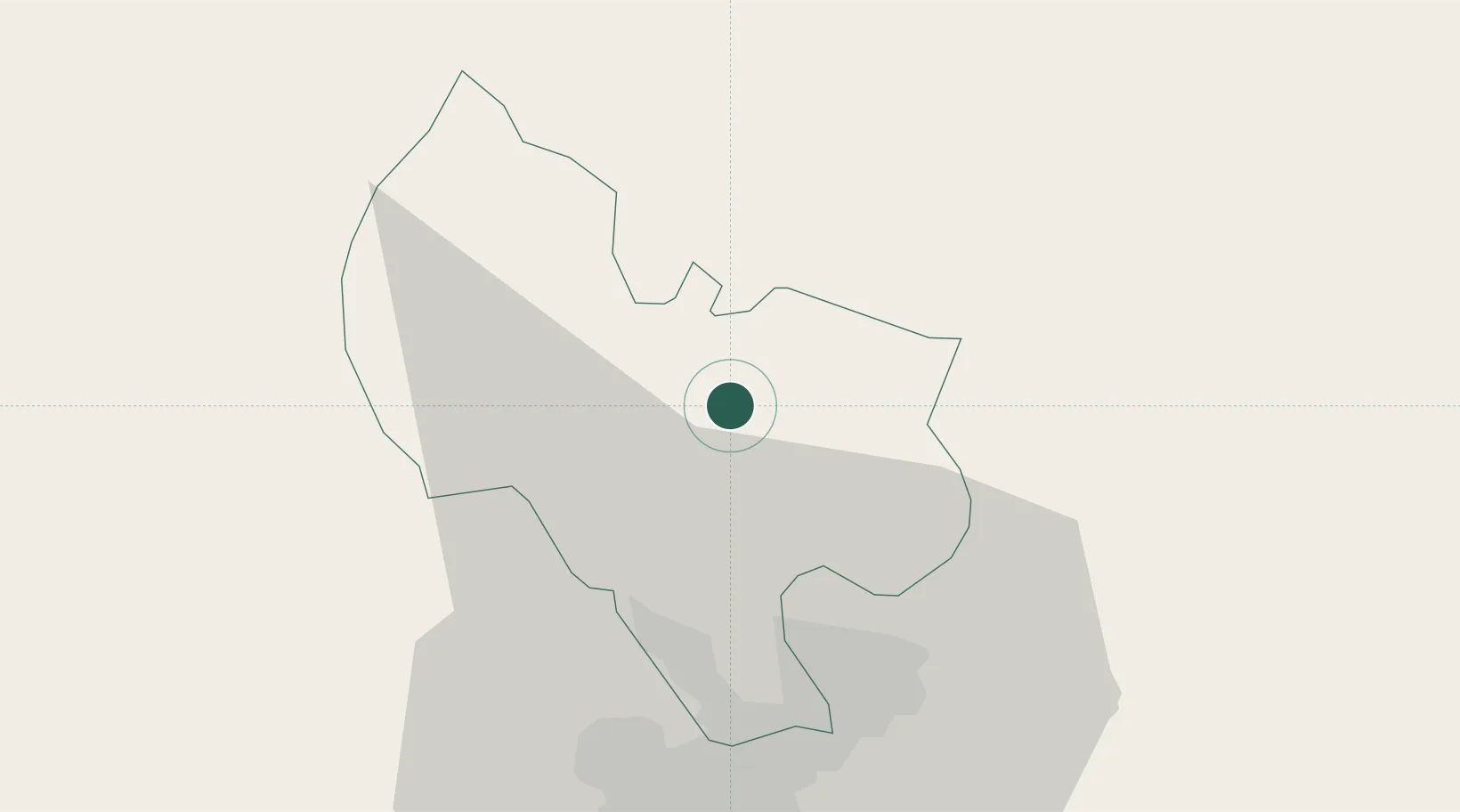
Hub Profile
Place type
Populated place
Region
Ho Chi Minh City (HCMC)
Time zone
Asia/Ho_Chi_Minh
Elevation
50 m
Location
Nearby Logistics Neighbours
Cities
- 1Thanh Phuoc Port18 km
- 2Tân Uyên18 km
- 3Thu Dau Mot29 km
- 4Binh Duong32 km
- 5Long Binh Tan33 km
Ports
- 1Thanh Hoa45 km
- 2Thanh Ho Chi Minh50 km
- 3Cat Lai52 km
- 4Phu My78 km
- 5Vung Tau107 km
Airports
Trade Zones
DatabookThe Record of Consolidated Knowledge
Vietnam beyond logistics?