Diversified Zone · Cambodia

Kratié Special Economic Zone Under Development
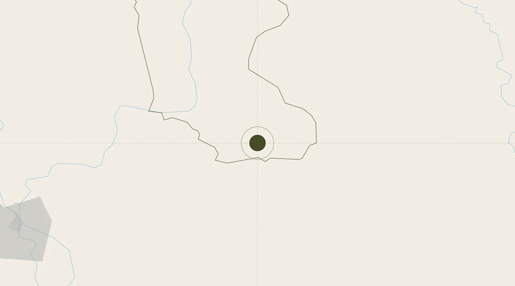
12.0670°, 106.4256°
300 ha
Zone area
143.9 km
Nearest port
141.0 km
Nearest airport

Gateway access

Nearest neighbours — logibook spatial index (haversine) over the source coordinates

Zone profile

Zone type
Diversified Zone
Open Zone Map
Region
Krâchéh
Open Zone Map
Status
Under Development
Open Zone Map
Management
Private
Open Zone Map
Operator
Zhongqi Holding Group
Open Zone Map
Legal framework
Sub-decree No. 131 on Establishment of UBI Snuol Special Economic Zone
Open Zone Map

Location

Location of ozm-262
Natural Earth 10m (public domain) · Krâchéh · ozm-262 · 12.07, 106.43GoogleOSMYandex

Nearby Logistics Neighbours

Ports
  1. 1Thanh Hoa144 km
  2. 2Thanh Ho Chi Minh148 km
  3. 3Cat Lai152 km
  4. 4Phu My178 km
  5. 5Vung Tau207 km
Nearest neighbours — logibook spatial index (haversine) over the source coordinates
Airports
  1. 1Tan Son Nhat International Airport141 km
  2. 2Long Thanh International Airport (Under Construction)159 km
  3. 3Phnom Penh International Airport182 km
  4. 4Techo International Airport182 km
  5. 5Ratanakiri Airport195 km
Nearest neighbours — logibook spatial index (haversine) over the source coordinates
Cities
  1. 1Loc Ninh31 km
  2. 2Tay Ninh92 km
  3. 3Phu Giáo100 km
  4. 4Kâmpóng Cham106 km
  5. 5Thanh Phuoc Port119 km
Nearest neighbours — logibook spatial index (haversine) over the source coordinates
Trade Zones
  1. 1Xa Mat Border Gate Economic Zone60 km
  2. 2Ming Hung - Korea Industrial Park68 km
  3. 3Dong Xoai I Industrial Zone76 km
  4. 4Chon Thanh I Industrial Zone77 km
  5. 5Bac Đồng Phú Industrial Zone83 km
Nearest neighbours — logibook spatial index (haversine) over the source coordinates
DatabookThe Record of Consolidated Knowledge
Cambodia beyond logistics?
Browse databook

All Sources

Trade ZonesOpen Zone Map
CC BY
Portsthe NGA World Port Index
Public domain (US gov)
AirportsOurAirports
Public domain
LocationsUN/LOCODE
UN/LOCODE — free
← Cambodia trade zones