Free Trade Zone · Vietnam

Bac Đồng Phú Industrial Zone Active
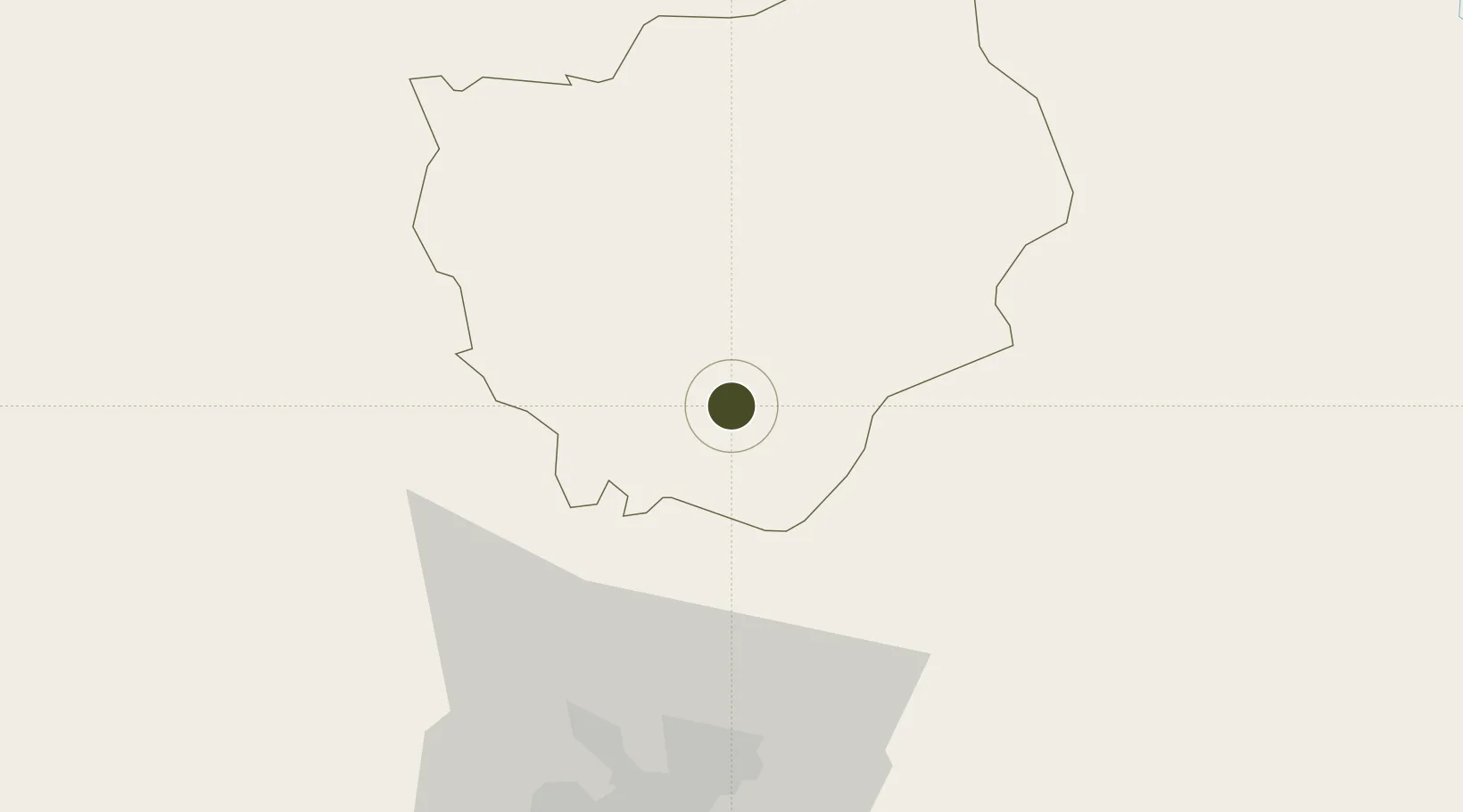
11.4739°, 106.8820°
189 ha
Zone area
74.2 km
Nearest port
77.0 km
Nearest airport

Gateway access

Nearest neighbours — logibook spatial index (haversine) over the source coordinates

Zone profile

Zone type
Free Trade Zone
Open Zone Map
Region
Bình Phước
Open Zone Map
Status
Active
Open Zone Map
Management
Public-Private Partnership
Open Zone Map
Operator
Dong Phu Rubber JSC
Open Zone Map
Legal framework
Decree No.82/2018/ND-CP on Management of Industrial Parks and Economic Zones, Decree No 218/2013/ND-CP
Open Zone Map

Location

Location of ozm-5039
Natural Earth 10m (public domain) · Bình Phước · ozm-5039 · 11.47, 106.88GoogleOSMYandex

Nearby Logistics Neighbours

Ports
  1. 1Thanh Hoa74 km
  2. 2Thanh Ho Chi Minh81 km
  3. 3Cat Lai81 km
  4. 4Phu My100 km
  5. 5Vung Tau130 km
Nearest neighbours — logibook spatial index (haversine) over the source coordinates
Airports
  1. 1Tan Son Nhat International Airport77 km
  2. 2Long Thanh International Airport (Under Construction)80 km
  3. 3Lien Khuong Airport165 km
  4. 4Buon Ma Thuot Airport189 km
  5. 5Can Tho International Airport201 km
Nearest neighbours — logibook spatial index (haversine) over the source coordinates
Cities
  1. 1Phu Giáo33 km
  2. 2Thanh Phuoc Port46 km
  3. 3Tân Uyên46 km
  4. 4Loc Ninh52 km
  5. 5Long Binh Tan60 km
Nearest neighbours — logibook spatial index (haversine) over the source coordinates
Trade Zones
  1. 1Dong Xoai I Industrial Zone7 km
  2. 2Ming Hung - Korea Industrial Park30 km
  3. 3Chon Thanh I Industrial Zone32 km
  4. 4Vsip Ii Industrial Zone49 km
  5. 5Man Tan Uyen Industrial Park49 km
Nearest neighbours — logibook spatial index (haversine) over the source coordinates
DatabookThe Record of Consolidated Knowledge
Vietnam beyond logistics?
Browse databook

All Sources

Trade ZonesOpen Zone Map
CC BY
Portsthe NGA World Port Index
Public domain (US gov)
AirportsOurAirports
Public domain
LocationsUN/LOCODE
UN/LOCODE — free
← Vietnam trade zones