UN/LOCODE hub · Vietnam
VNTPP

Thanh Phuoc Port

11.0667°, 106.8000°
1
Transport functions

Transport Functions

Port
UN/LOCODE

Hub Profile

Region
57
GeoNames

Location

Location of VNTPP
Natural Earth 10m (public domain) · 57 · VNTPP · 11.07, 106.80GoogleOSMYandex

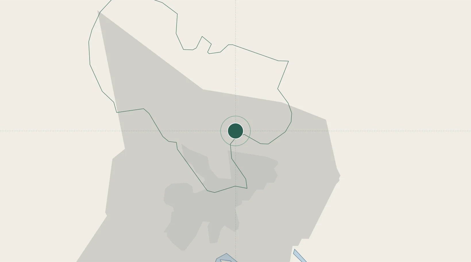
Nearby Logistics Neighbours

Cities
  1. 1Tân Uyên0 km
  2. 2Binh Duong15 km
  3. 3Long Binh Tan15 km
  4. 4Di An17 km
  5. 5Phu Giáo18 km
Nearest neighbours — logibook spatial index (haversine) over the source coordinates
Ports
  1. 1Thanh Hoa28 km
  2. 2Thanh Ho Chi Minh35 km
  3. 3Cat Lai35 km
  4. 4Phu My60 km
  5. 5Vung Tau88 km
Nearest neighbours — logibook spatial index (haversine) over the source coordinates
Airports
  1. 1Tan Son Nhat International Airport32 km
  2. 2Long Thanh International Airport (Under Construction)42 km
  3. 3Can Tho International Airport162 km
  4. 4Lien Khuong Airport187 km
  5. 5Techo International Airport208 km
Nearest neighbours — logibook spatial index (haversine) over the source coordinates
Trade Zones
  1. 1Man Tan Uyen Industrial Park5 km
  2. 2Kim Huy Industrial Zone11 km
  3. 3Dai Dang Industrial Zone13 km
  4. 4Vsip Ii Industrial Zone13 km
  5. 5Tan Dong Hiep B Industrial Zone17 km
Nearest neighbours — logibook spatial index (haversine) over the source coordinates
DatabookThe Record of Consolidated Knowledge
Vietnam beyond logistics?
Browse databook

All Sources

LocationsUN/LOCODE
UN/LOCODE — free
Portsthe NGA World Port Index
Public domain (US gov)
AirportsOurAirports
Public domain
Trade Zonesthe World Bank SEZ database
CC BY 4.0
Trade ZonesOpen Zone Map
CC BY
← Vietnam locations