Transport Functions
Port
Airport
Hub Profile
Place type
Regional capital
Region
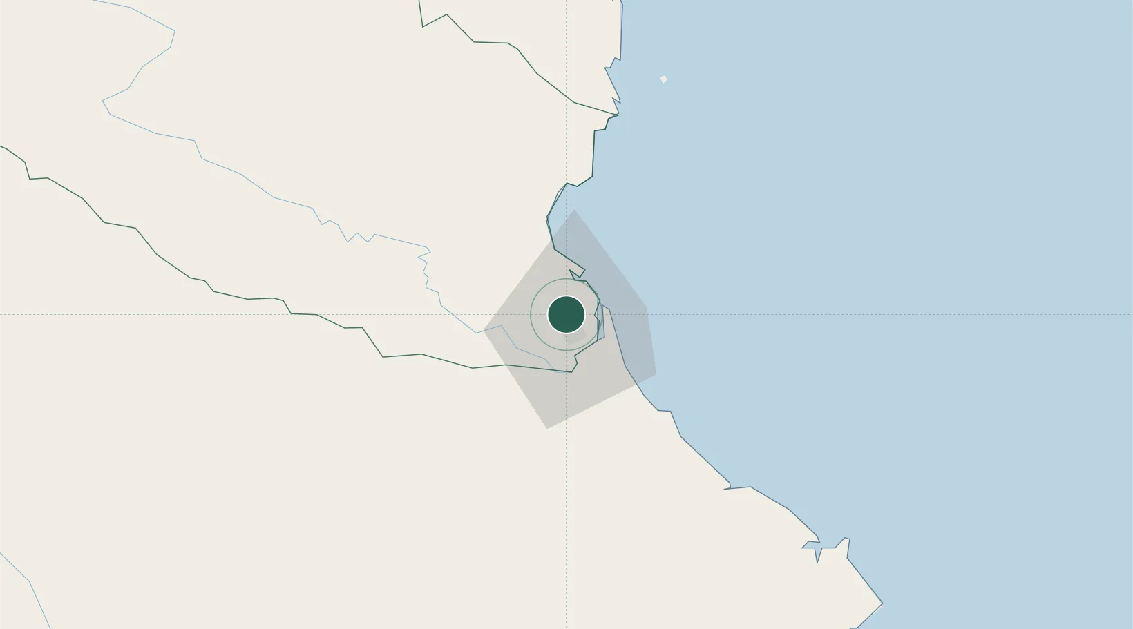
Nghệ An Province
Population
790,000
Time zone
Asia/Bangkok
Elevation
12 m
Location
Nearby Logistics Neighbours
Airports
- 1Vinh Airport1 km
- 2Tho Xuan Airport132 km
- 3Dong Hoi Airport167 km
- 4Nakhon Phanom Airport185 km
- 5Sakon Nakhon Airport237 km
Trade Zones
DatabookThe Record of Consolidated Knowledge
Vietnam beyond logistics?