Transport Functions
Multimodal
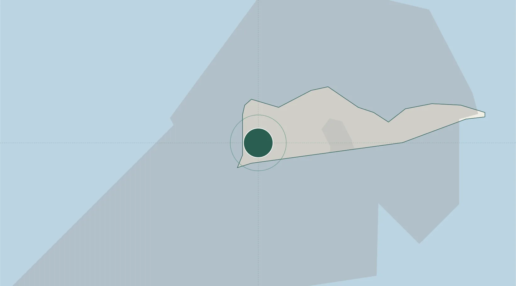
Hub Profile
Place type
Populated place
Region
Saint Croix Island
Time zone
America/St_Thomas
Elevation
69 m
Location
Nearby Logistics Neighbours
Cities
- 1Port Alucroix11 km
- 2Christiansted, Saint Croix12 km
- 3Cruz Bay, Saint John69 km
- 4Charlotte Amalie, Saint Thomas69 km
- 5Saint Thomas71 km
Ports
- 1Frederiksted2 km
- 2Port Alucroix11 km
- 3Limetree Bay13 km
- 4Christiansted18 km
- 5Cruz Bay69 km
Airports
Trade Zones
- 1FTZ No. 061 San Juan153 km
- 2FTZ No. 163 Ponce181 km
- 3FTZ No. 007 Mayaguez249 km
- 4Free Trade & Processing Zone332 km
- 5Antigua and Barbuda Special Economic Zone (ABSEZ)339 km
DatabookThe Record of Consolidated Knowledge
U.S. Virgin Islands beyond logistics?