UN/LOCODE hub · U.S. Virgin Islands
VICZB

Cruz Bay, Saint John

18.3333°, -64.8000°
2
Transport functions

Transport Functions

Port
Road
Cruz Bay, Saint John is also a profiled seaport →
UN/LOCODE

Location

Location of VICZB
Natural Earth 10m (public domain) · Saint John · VICZB · 18.33, -64.80GoogleOSMYandex

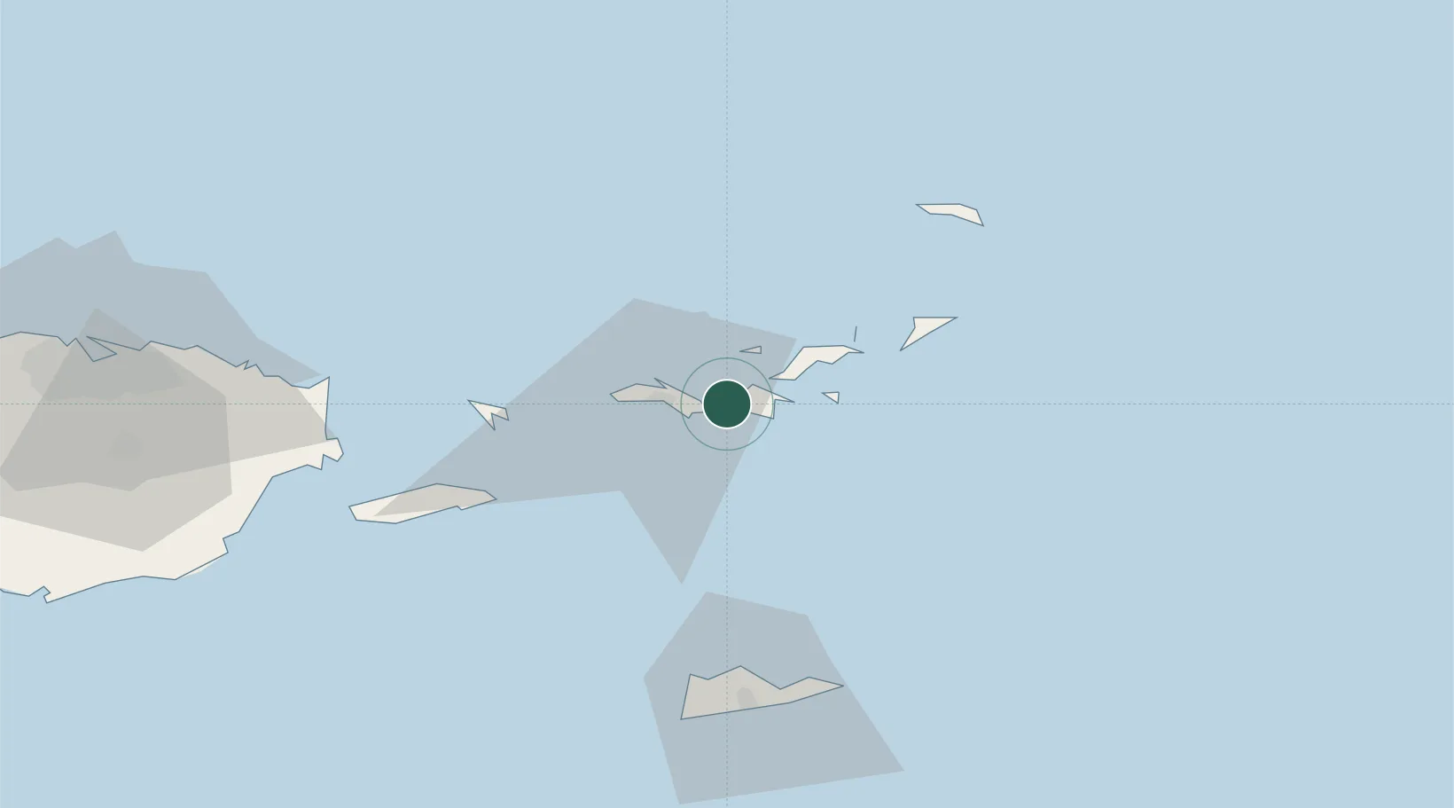
Nearby Logistics Neighbours

Cities
  1. 1Sopers Hole12 km
  2. 2Saint Thomas14 km
  3. 3Jost Van Dyke15 km
  4. 4Charlotte Amalie, Saint Thomas16 km
  5. 5Norman Island19 km
Nearest neighbours — logibook spatial index (haversine) over the source coordinates
Ports
  1. 1Charlotte Amalie14 km
  2. 2Road Harbor22 km
  3. 3Christiansted66 km
  4. 4Frederiksted69 km
  5. 5Port Alucroix71 km
Nearest neighbours — logibook spatial index (haversine) over the source coordinates
Airports
  1. 1Charlotte Amalie Harbor Seaplane Base15 km
  2. 2Cyril E. King Airport19 km
  3. 3Terrance B. Lettsome International Airport30 km
  4. 4Virgin Gorda Airport41 km
  5. 5Benjamin Rivera Noriega Airport53 km
Nearest neighbours — logibook spatial index (haversine) over the source coordinates
Trade Zones
  1. 1FTZ No. 061 San Juan141 km
  2. 2FTZ No. 163 Ponce188 km
  3. 3FTZ No. 007 Mayaguez250 km
  4. 4Free Trade & Processing Zone344 km
  5. 5Antigua and Barbuda Special Economic Zone (ABSEZ)352 km
Nearest neighbours — logibook spatial index (haversine) over the source coordinates
DatabookThe Record of Consolidated Knowledge
U.S. Virgin Islands beyond logistics?
Browse databook

All Sources

LocationsUN/LOCODE
UN/LOCODE — free
Portsthe NGA World Port Index
Public domain (US gov)
AirportsOurAirports
Public domain
Trade Zonesthe World Bank SEZ database
CC BY 4.0
Trade ZonesOpen Zone Map
CC BY
← U.S. Virgin Islands locations