Medium airport · U.S. Virgin Islands
Henry E. Rohlsen AirportTISX
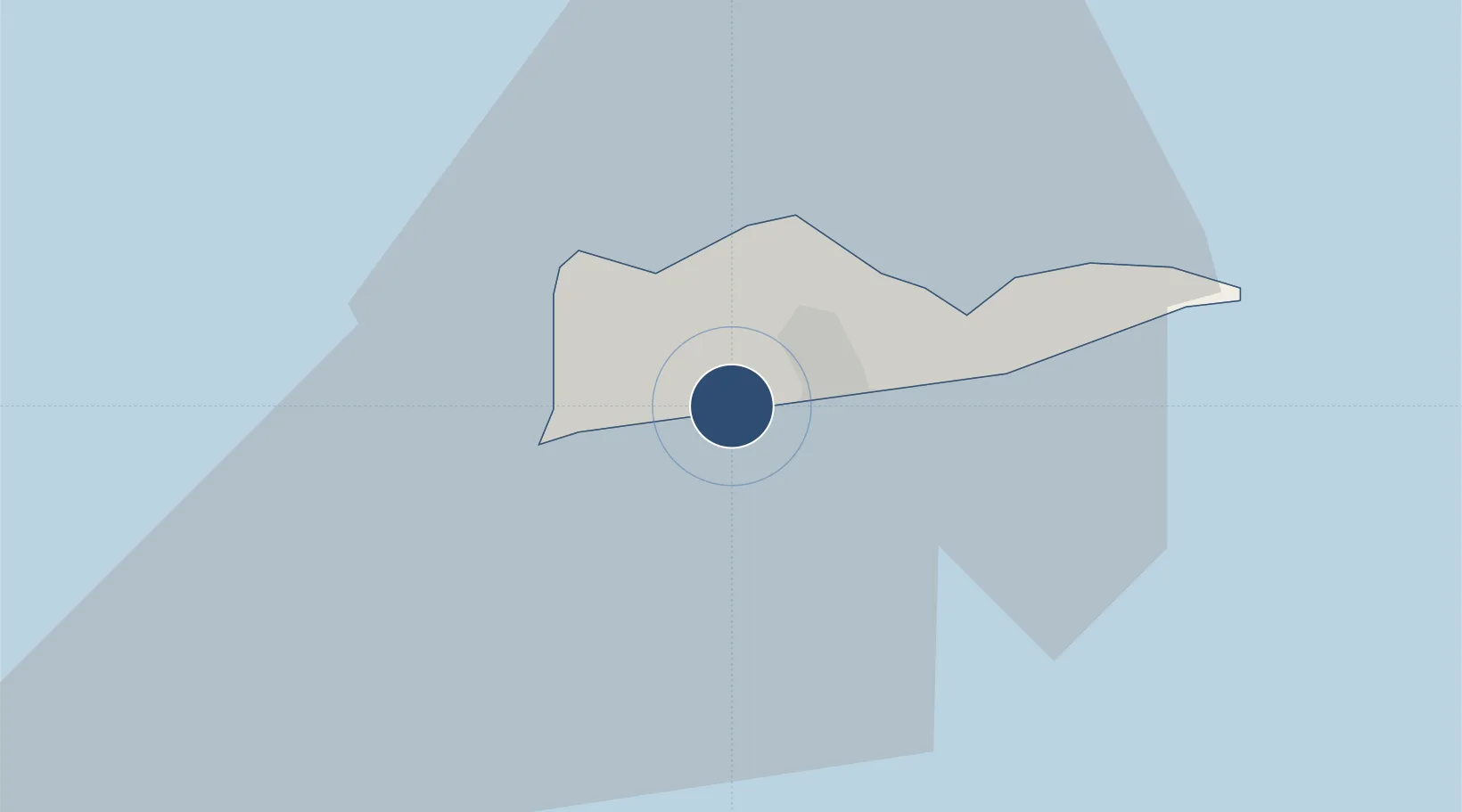
17.7014°, -64.8026°
10,004 ft
Longest runway
1
Runways
74 ft
Elevation
Runway & Layout

Radio Frequencies
ATIS
135.65 MHz
TWR
118.6 MHz
ST CROIX TWR
GND
121.7 MHz
CTAF
118.6 MHz
A/D
128.65 MHz
SAN JUAN CNTR
RDO
108.2 MHz
SAN JUAN RDO
UNIC
123 MHz
UNICOM
Navaids
COY VOR-DME St Croix 108.20 MHz
SX NDB Peste 241 kHz
Runways · 1
| Runway | Dimensions | Surface | True heading | Lit |
|---|---|---|---|---|
| 10/28 | 10,004 × 150ft | Asphalt | 084° | ✓ |
Airport Specifications
IATA code
STX
ICAO code
TISX
Airport class
Medium airport
Scheduled service
Yes
Runway surface
Asphalt
Served city
Christiansted
Location
Nearby Logistics Neighbours
Airports
Cities
- 1Port Alucroix4 km
- 2Christiansted, Saint Croix5 km
- 3Kingshill7 km
- 4Cruz Bay, Saint John70 km
- 5Norman Island71 km
Ports
- 1Port Alucroix4 km
- 2Limetree Bay6 km
- 3Frederiksted9 km
- 4Christiansted12 km
- 5Cruz Bay70 km
Trade Zones
- 1FTZ No. 061 San Juan160 km
- 2FTZ No. 163 Ponce188 km
- 3FTZ No. 007 Mayaguez256 km
- 4Free Trade & Processing Zone325 km
- 5Antigua and Barbuda Special Economic Zone (ABSEZ)332 km
DatabookThe Record of Consolidated Knowledge
U.S. Virgin Islands beyond logistics?