Seaplane base · U.S. Virgin Islands
Christiansted Harbor Seaplane BaseVI32
17.7468°, -64.7078°
7,000 ft
Longest runway
1
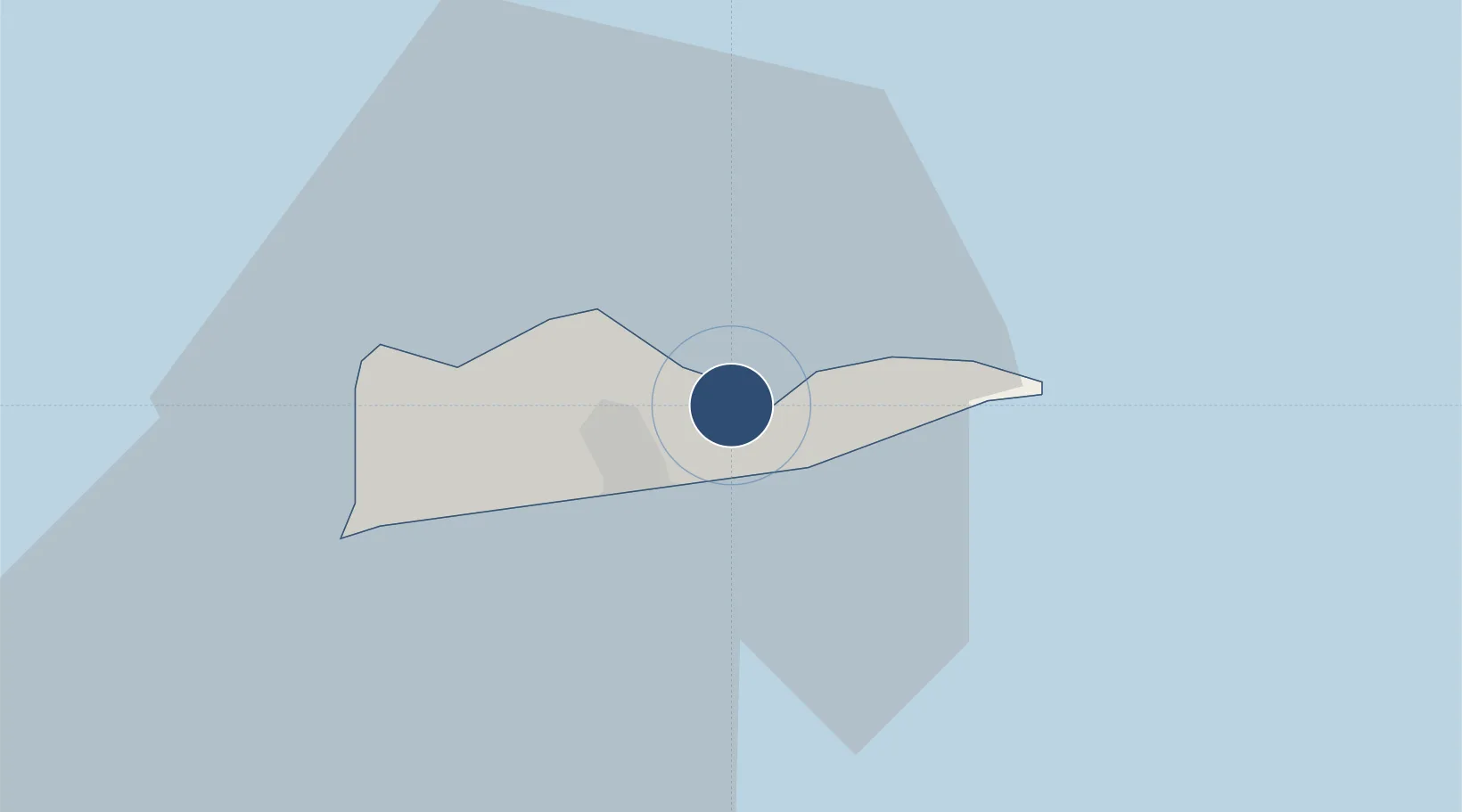
Runways
Runway & Layout
Runways · 1
| Runway | Dimensions | Surface | True heading | Lit |
|---|---|---|---|---|
| E/W | 7,000 × 600ft | Water | — | — |
Airport Specifications
IATA code
SSB
ICAO code
VI32
Airport class
Seaplane base
Scheduled service
Yes
Runway surface
Water
Served city
Christiansted
Location
Nearby Logistics Neighbours
Airports
Cities
- 1Christiansted, Saint Croix8 km
- 2Port Alucroix8 km
- 3Kingshill17 km
- 4Norman Island64 km
- 5Cruz Bay, Saint John66 km
Ports
- 1Christiansted1 km
- 2Limetree Bay7 km
- 3Port Alucroix8 km
- 4Frederiksted19 km
- 5Cruz Bay66 km
Trade Zones
- 1FTZ No. 061 San Juan167 km
- 2FTZ No. 163 Ponce197 km
- 3FTZ No. 007 Mayaguez265 km
- 4Free Trade & Processing Zone316 km
- 5Antigua and Barbuda Special Economic Zone (ABSEZ)323 km
DatabookThe Record of Consolidated Knowledge
U.S. Virgin Islands beyond logistics?