UN/LOCODE hub · U.S. Virgin Islands
VICHA

Charlotte Amalie, Saint Thomas

18.3356°, -64.9500°
1
Transport functions
1
Container terminals

Transport Functions

Port
Charlotte Amalie, Saint Thomas is also a profiled seaport →
UN/LOCODE

Hub Profile

Logistics facilities
1
UN/LOCODE
Container terminals
1
UN/LOCODE

Location

Location of VICHA
Natural Earth 10m (public domain) · Saint Thomas · VICHA · 18.34, -64.95GoogleOSMYandex

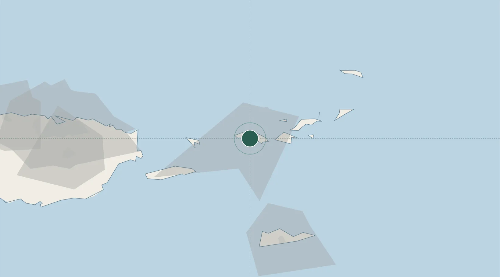
Nearby Logistics Neighbours

Cities
  1. 1Saint Thomas2 km
  2. 2Cruz Bay, Saint John16 km
  3. 3Jost Van Dyke26 km
  4. 4Sopers Hole27 km
  5. 5Norman Island35 km
Nearest neighbours — logibook spatial index (haversine) over the source coordinates
Ports
  1. 1Cruz Bay16 km
  2. 2Road Harbor36 km
  3. 3Frederiksted69 km
  4. 4Christiansted70 km
  5. 5Bahia De Fajardo72 km
Nearest neighbours — logibook spatial index (haversine) over the source coordinates
Airports
  1. 1Charlotte Amalie Harbor Seaplane Base1 km
  2. 2Cyril E. King Airport3 km
  3. 3Benjamin Rivera Noriega Airport37 km
  4. 4Terrance B. Lettsome International Airport45 km
  5. 5Virgin Gorda Airport57 km
Nearest neighbours — logibook spatial index (haversine) over the source coordinates
Trade Zones
  1. 1FTZ No. 061 San Juan125 km
  2. 2FTZ No. 163 Ponce173 km
  3. 3FTZ No. 007 Mayaguez234 km
  4. 4Free Trade & Processing Zone359 km
  5. 5Punta Cana Airport361 km
Nearest neighbours — logibook spatial index (haversine) over the source coordinates
DatabookThe Record of Consolidated Knowledge
U.S. Virgin Islands beyond logistics?
Browse databook

All Sources

LocationsUN/LOCODE
UN/LOCODE — free
Portsthe NGA World Port Index
Public domain (US gov)
AirportsOurAirports
Public domain
Trade Zonesthe World Bank SEZ database
CC BY 4.0
Trade ZonesOpen Zone Map
CC BY
← U.S. Virgin Islands locations