Transport Functions
Port
Road
Multimodal
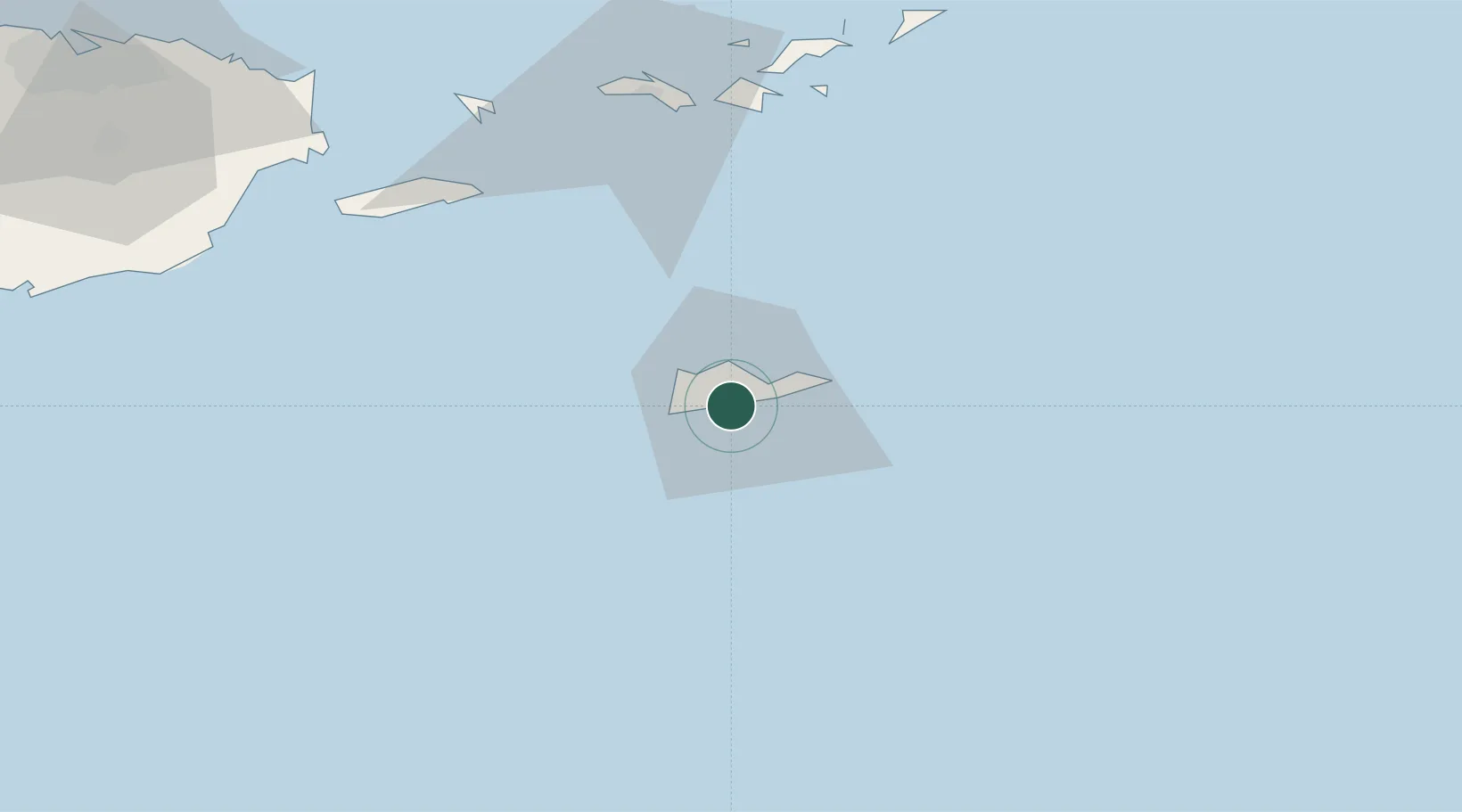
Location
Nearby Logistics Neighbours
Cities
- 1Christiansted, Saint Croix1 km
- 2Kingshill11 km
- 3Norman Island70 km
- 4Cruz Bay, Saint John71 km
- 5Charlotte Amalie, Saint Thomas73 km
Ports
- 1Limetree Bay2 km
- 2Christiansted9 km
- 3Frederiksted13 km
- 4Cruz Bay71 km
- 5Charlotte Amalie74 km
Airports
Trade Zones
- 1FTZ No. 061 San Juan163 km
- 2FTZ No. 163 Ponce192 km
- 3FTZ No. 007 Mayaguez260 km
- 4Free Trade & Processing Zone321 km
- 5Antigua and Barbuda Special Economic Zone (ABSEZ)328 km
DatabookThe Record of Consolidated Knowledge
U.S. Virgin Islands beyond logistics?