Seaplane base · U.S. Virgin Islands
Charlotte Amalie Harbor Seaplane BaseVI22
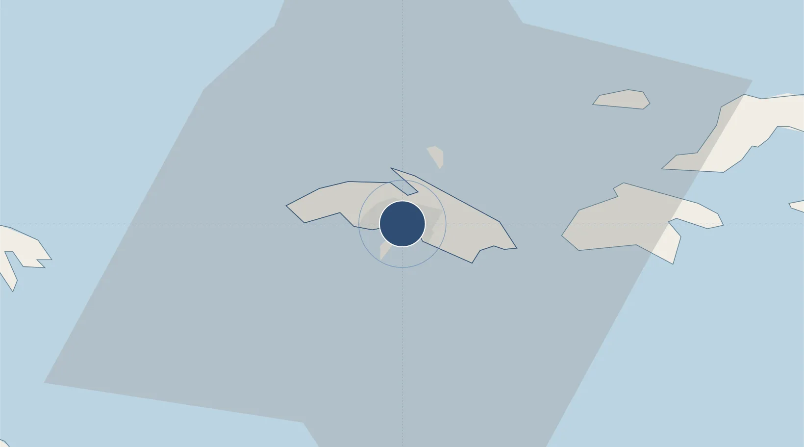
18.3382°, -64.9397°
10,000 ft
Longest runway
2
Runways
Runway & Layout
Runways · 2
| Runway | Dimensions | Surface | True heading | Lit |
|---|---|---|---|---|
| E/W | 10,000 × 4000ft | Water | — | — |
| N/S | 4,000 × 4000ft | Water | — | — |
Airport Specifications
IATA code
SPB
ICAO code
VI22
Airport class
Seaplane base
Scheduled service
Yes
Runway surface
Water
Served city
Charlotte Amalie
Location
Nearby Logistics Neighbours
Airports
Cities
- 1Charlotte Amalie, Saint Thomas1 km
- 2Saint Thomas2 km
- 3Cruz Bay, Saint John15 km
- 4Jost Van Dyke25 km
- 5Sopers Hole26 km
Ports
- 1Charlotte Amalie2 km
- 2Cruz Bay15 km
- 3Road Harbor35 km
- 4Frederiksted69 km
- 5Christiansted70 km
Trade Zones
- 1FTZ No. 061 San Juan126 km
- 2FTZ No. 163 Ponce174 km
- 3FTZ No. 007 Mayaguez235 km
- 4Free Trade & Processing Zone358 km
- 5Punta Cana Airport362 km
DatabookThe Record of Consolidated Knowledge
U.S. Virgin Islands beyond logistics?