Channel & Berth Profile
Pilotage, Tugs & Services
Pilotage compulsoryYES
Pilotage availableYES
Pilotage advisableYES
Local assistanceYES
Tug assistanceYES
Potable waterYES
MedicalYES
Garbage disposalYES
Facilities & Capabilities
Container—
Ro-Ro—
Liquid bulk—
Dry bulk—
Oil terminal—
Break bulk—
Dry dock—
RepairsNO
BunkeringYES
Rail link—
Dangerous cargo—
ISPS security—
Harbour Specifications
Harbour size
Very Small
Harbour type
Open Roadstead
Shelter
Fair
Water body
Caribbean Sea; North Atlantic Ocean
Tidal range
1 m
Overhead limit
No
Pilotage
Yes
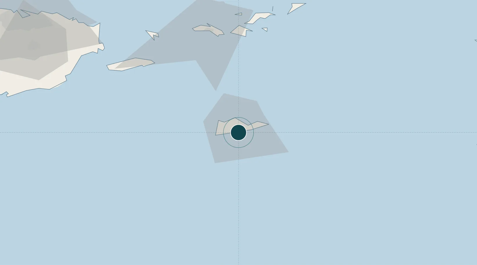
Location
Nearby Logistics Neighbours
Ports
- 1Port Alucroix2 km
- 2Christiansted8 km
- 3Frederiksted14 km
- 4Cruz Bay71 km
- 5Charlotte Amalie75 km
Cities
- 1Christiansted, Saint Croix1 km
- 2Port Alucroix2 km
- 3Kingshill13 km
- 4Norman Island70 km
- 5Cruz Bay, Saint John71 km
Airports
Trade Zones
- 1FTZ No. 061 San Juan165 km
- 2FTZ No. 163 Ponce193 km
- 3FTZ No. 007 Mayaguez261 km
- 4Free Trade & Processing Zone319 km
- 5Antigua and Barbuda Special Economic Zone (ABSEZ)326 km
DatabookThe Record of Consolidated Knowledge
U.S. Virgin Islands beyond logistics?