Seaport · U.S. Virgin Islands
Port AlucroixVIPAX
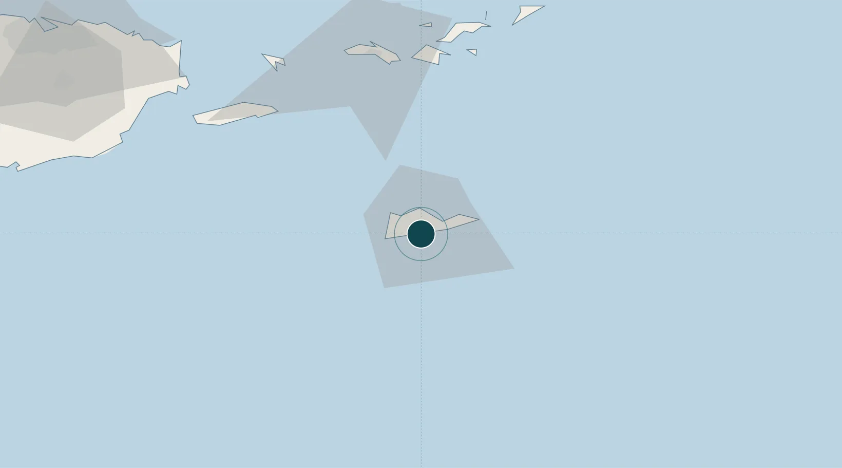
17.7000°, -64.7667°
9.4 m
Channel depth
14.2
Port liner connectivity
Channel & Berth Profile
Pilotage, Tugs & Services
Pilotage compulsoryYES
Pilotage availableYES
Tug assistanceYES
Potable waterYES
Diesel bunkersYES
MedicalYES
Facilities & Capabilities
Container—
Ro-Ro—
Liquid bulk—
Dry bulk—
Oil terminal—
Break bulk—
Dry dock—
Repairs—
BunkeringYES
Rail link—
Dangerous cargo—
ISPS security—
Harbour Specifications
Harbour size
Very Small
Harbour type
Open Roadstead
Shelter
Poor
Water body
Caribbean Sea; North Atlantic Ocean
Pilotage
Yes
Liner Connectivity
14.2
PLSCI
Port Liner Shipping Connectivity Index for Port Alucroix, as published by UNCTAD for the latest available quarter. Higher values indicate stronger scheduled liner-shipping integration.
Shown relative to the highest per-port PLSCI in the dataset (1,657.9).
Location
Nearby Logistics Neighbours
Ports
- 1Limetree Bay2 km
- 2Christiansted9 km
- 3Frederiksted13 km
- 4Cruz Bay71 km
- 5Charlotte Amalie74 km
Cities
- 1Christiansted, Saint Croix1 km
- 2Kingshill11 km
- 3Norman Island70 km
- 4Cruz Bay, Saint John71 km
- 5Charlotte Amalie, Saint Thomas73 km
Airports
Trade Zones
- 1FTZ No. 061 San Juan163 km
- 2FTZ No. 163 Ponce192 km
- 3FTZ No. 007 Mayaguez260 km
- 4Free Trade & Processing Zone321 km
- 5Antigua and Barbuda Special Economic Zone (ABSEZ)328 km
DatabookThe Record of Consolidated Knowledge
U.S. Virgin Islands beyond logistics?