UN/LOCODE hub · U.S. Virgin Islands
VICTD
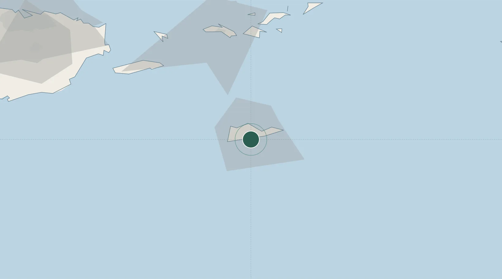
Christiansted, Saint Croix
17.6961°, -64.7544°
1
Transport functions
1
Container terminals
Transport Functions
Port
Hub Profile
Logistics facilities
1
Container terminals
1
Location
Nearby Logistics Neighbours
Cities
- 1Port Alucroix1 km
- 2Kingshill12 km
- 3Norman Island71 km
- 4Cruz Bay, Saint John71 km
- 5Charlotte Amalie, Saint Thomas74 km
Ports
- 1Limetree Bay1 km
- 2Port Alucroix1 km
- 3Frederiksted14 km
- 4Cruz Bay71 km
- 5Charlotte Amalie75 km
Airports
Trade Zones
- 1FTZ No. 061 San Juan165 km
- 2FTZ No. 163 Ponce193 km
- 3FTZ No. 007 Mayaguez261 km
- 4Free Trade & Processing Zone320 km
- 5Antigua and Barbuda Special Economic Zone (ABSEZ)326 km
DatabookThe Record of Consolidated Knowledge
U.S. Virgin Islands beyond logistics?