Channel & Berth Profile
Pilotage, Tugs & Services
Potable waterYES
Diesel bunkersYES
MedicalYES
Facilities & Capabilities
Container—
Ro-Ro—
Liquid bulk—
Dry bulk—
Oil terminal—
Break bulk—
Dry dock—
Repairs—
BunkeringYES
Rail link—
Dangerous cargo—
ISPS security—
Harbour Specifications
Harbour size
Small
Harbour type
Coastal (Natural)
Shelter
Poor
Water body
North Atlantic Ocean
Tidal range
1 m
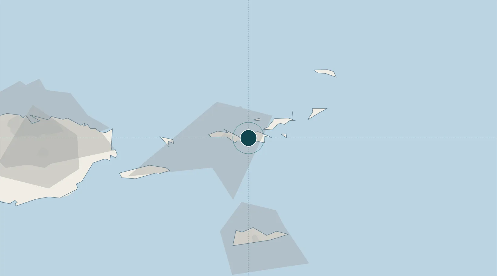
Location
Nearby Logistics Neighbours
Ports
- 1Charlotte Amalie14 km
- 2Road Harbor22 km
- 3Christiansted66 km
- 4Frederiksted69 km
- 5Port Alucroix71 km
Cities
- 1Sopers Hole12 km
- 2Saint Thomas14 km
- 3Jost Van Dyke15 km
- 4Charlotte Amalie, Saint Thomas16 km
- 5Norman Island19 km
Airports
Trade Zones
- 1FTZ No. 061 San Juan141 km
- 2FTZ No. 163 Ponce188 km
- 3FTZ No. 007 Mayaguez250 km
- 4Free Trade & Processing Zone344 km
- 5Antigua and Barbuda Special Economic Zone (ABSEZ)352 km
DatabookThe Record of Consolidated Knowledge
U.S. Virgin Islands beyond logistics?