Seaport · Venezuela
El GuamacheVEEGU
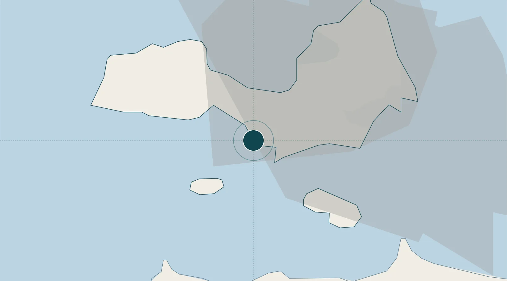
10.9000°, -64.1000°
21.6 m
Channel depth
17.2
Port liner connectivity
Channel & Berth Profile
Pilotage, Tugs & Services
Pilotage compulsoryYES
Pilotage availableYES
Tug assistanceYES
Potable waterYES
Diesel bunkersYES
MedicalYES
Garbage disposalNO
Facilities & Capabilities
ContainerYES
Ro-RoYES
Liquid bulkYES
Dry bulkYES
Oil terminalYES
Break bulkYES
Dry dock—
RepairsNO
Bunkering—
Rail link—
Dangerous cargo—
ISPS securityYES
Harbour Specifications
Harbour size
Very Small
Harbour type
Open Roadstead
Shelter
Fair
Water body
Caribbean Sea; North Atlantic Ocean
Tidal range
1 m
Pilotage
Yes
Liner Connectivity
17.2
PLSCI
Port Liner Shipping Connectivity Index for El Guamache, as published by UNCTAD for the latest available quarter. Higher values indicate stronger scheduled liner-shipping integration.
Shown relative to the highest per-port PLSCI in the dataset (1,657.9).
Location
Nearby Logistics Neighbours
Ports
- 1Cumana (Puerto Sucre)49 km
- 2Guanta90 km
- 3Bahia De Pertigalete90 km
- 4Puerto La Cruz93 km
- 5Carupano96 km
Cities
- 1Agua de Vaca18 km
- 2La Asuncion28 km
- 3Puerto Carenero47 km
- 4Guanta91 km
- 5El Chaure92 km
Airports
DatabookThe Record of Consolidated Knowledge
Venezuela beyond logistics?