Channel & Berth Profile
Pilotage, Tugs & Services
Pilotage compulsoryYES
Pilotage availableYES
Pilotage advisableYES
Local assistanceYES
Tug assistanceNO
Salvage tugsNO
Shore powerYES
Potable waterYES
MedicalYES
Facilities & Capabilities
Container—
Ro-Ro—
Liquid bulk—
Dry bulk—
Oil terminal—
Break bulk—
Dry dock—
Repairs—
Bunkering—
Rail link—
Dangerous cargo—
ISPS security—
Harbour Specifications
Harbour size
Small
Harbour type
Open Roadstead
Shelter
Fair
Water body
Caribbean Sea; North Atlantic Ocean
Overhead limit
No
Pilotage
Yes
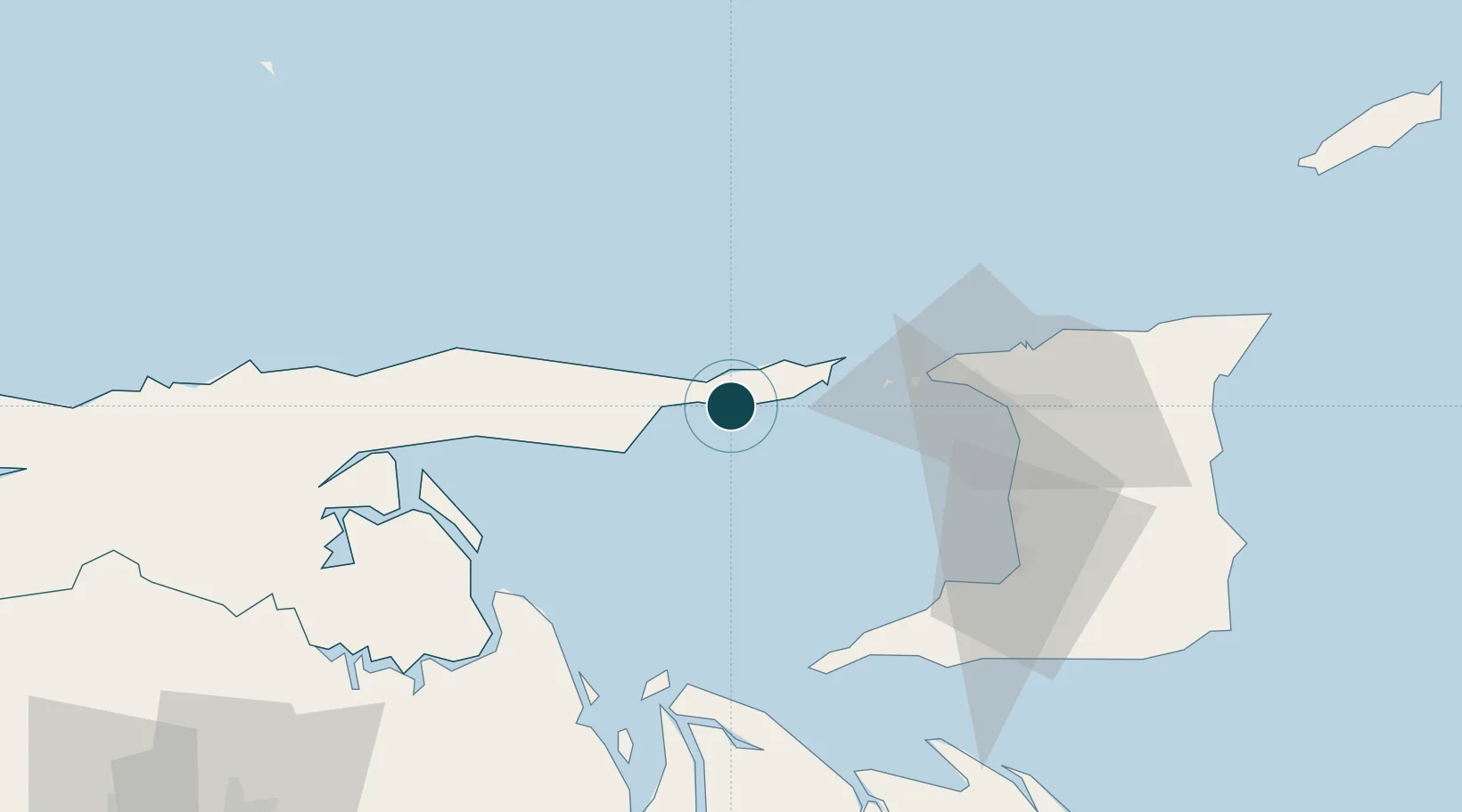
Location
Nearby Logistics Neighbours
Ports
- 1Guiria23 km
- 2Chaguaramas50 km
- 3Anse Tembladora57 km
- 4Port Of Spain64 km
- 5Point Fortin65 km
Cities
- 1Carenage55 km
- 2Diego Martin59 km
- 3Port-of-Spain64 km
- 4Laventille67 km
- 5Morvant/Port-of-Spain69 km
Airports
Trade Zones
- 1Diamond Vale Industrial Park60 km
- 2Abbatoir64 km
- 3Sea Lots Industrial Park65 km
- 4East Dry River Industrial Park66 km
- 5Beetham Industrial Park68 km
DatabookThe Record of Consolidated Knowledge
Venezuela beyond logistics?