UN/LOCODE hub · Venezuela
VEPCO

Puerto Carenero

10.4833°, -64.1667°
2
Transport functions

Transport Functions

Port
Road
UN/LOCODE

Hub Profile

Place type
Locality
GeoNames
Region
Sucre
GeoNames
Time zone
America/Caracas
GeoNames

Location

Location of VEPCO
Natural Earth 10m (public domain) · Sucre · VEPCO · 10.48, -64.17GoogleOSMYandex

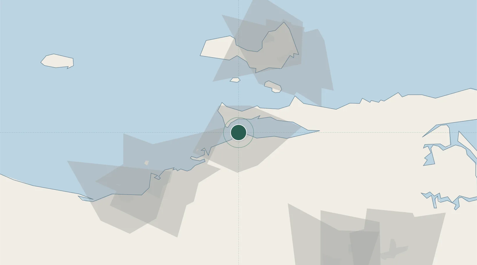
Nearby Logistics Neighbours

Cities
  1. 1Guanta54 km
  2. 2El Chaure56 km
  3. 3Agua de Vaca62 km
  4. 4La Asuncion69 km
  5. 5Petrozuata83 km
Nearest neighbours — logibook spatial index (haversine) over the source coordinates
Ports
  1. 1Cumana (Puerto Sucre)3 km
  2. 2El Guamache47 km
  3. 3Bahia De Pertigalete52 km
  4. 4Guanta52 km
  5. 5Puerto La Cruz57 km
Nearest neighbours — logibook spatial index (haversine) over the source coordinates
Trade Zones
  1. 1Zona Franca Industrial, Comercial y de Servicios de Cumaná6 km
  2. 2Free Port of the Nueva Esparta State44 km
  3. 3Guarenas-Guatire Special Economic Zone265 km
  4. 4Point Fortin Industrial Park274 km
  5. 5Diamond Vale Industrial Park286 km
Nearest neighbours — logibook spatial index (haversine) over the source coordinates
DatabookThe Record of Consolidated Knowledge
Venezuela beyond logistics?
Browse databook

All Sources

LocationsUN/LOCODE
UN/LOCODE — free
Portsthe NGA World Port Index
Public domain (US gov)
AirportsOurAirports
Public domain
Trade Zonesthe World Bank SEZ database
CC BY 4.0
Trade ZonesOpen Zone Map
CC BY
← Venezuela locations