UN/LOCODE hub · Venezuela
VELSN
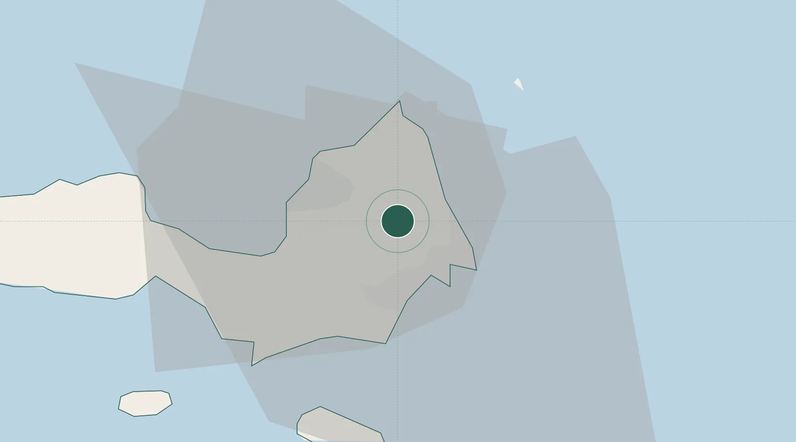
La Asuncion
11.0333°, -63.8833°
35,084
Population
1
Transport functions
Transport Functions
Multimodal
Hub Profile
Place type
Regional capital
Region
Nueva Esparta
Population
35,084
Time zone
America/Caracas
Elevation
42 m
Location
Nearby Logistics Neighbours
Cities
- 1Agua de Vaca10 km
- 2Puerto Carenero69 km
- 3Guanta117 km
- 4El Chaure118 km
- 5Caripito137 km
Ports
- 1El Guamache28 km
- 2Cumana (Puerto Sucre)71 km
- 3Carupano79 km
- 4Guanta116 km
- 5Bahia De Pertigalete116 km
Airports
Trade Zones
DatabookThe Record of Consolidated Knowledge
Venezuela beyond logistics?