Channel & Berth Profile
Pilotage, Tugs & Services
Pilotage compulsoryYES
Pilotage availableYES
Tug assistanceNO
Potable waterYES
Diesel bunkersYES
MedicalYES
Facilities & Capabilities
ContainerYES
Ro-Ro—
Liquid bulkYES
Dry bulk—
Oil terminal—
Break bulkYES
Dry dockNO
RepairsNO
BunkeringYES
Rail link—
Dangerous cargo—
ISPS securityYES
Harbour Specifications
Harbour size
Very Small
Harbour type
Coastal (Breakwater)
Shelter
Fair
Water body
Caribbean Sea; North Atlantic Ocean
Tidal range
2 m
Overhead limit
No
Pilotage
Yes
Liner Connectivity
11.6
PLSCI
Port Liner Shipping Connectivity Index for Guiria, as published by UNCTAD for the latest available quarter. Higher values indicate stronger scheduled liner-shipping integration.
Shown relative to the highest per-port PLSCI in the dataset (1,657.9).
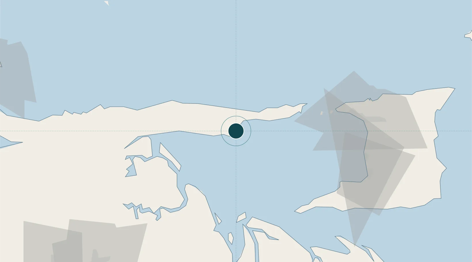
Location
Nearby Logistics Neighbours
Ports
- 1Puerto De Hierro23 km
- 2Chaguaramas72 km
- 3Point Fortin77 km
- 4Anse Tembladora79 km
- 5Brighton81 km
Cities
- 1Carenage78 km
- 2Diego Martin82 km
- 3Port-of-Spain86 km
- 4Laventille90 km
- 5Point Lisas90 km
Airports
- 1Guiria Airport2 km
- 2Piarco International Airport105 km
- 3General Francisco Bermúdez Airport106 km
- 4José Tadeo Monagas International Airport130 km
- 5Tucupita Airport166 km
Trade Zones
- 1Point Fortin Industrial Park80 km
- 2Diamond Vale Industrial Park82 km
- 3Abbatoir87 km
- 4Sea Lots Industrial Park87 km
- 5East Dry River Industrial Park88 km
DatabookThe Record of Consolidated Knowledge
Venezuela beyond logistics?