Medium airport · Venezuela
Guiria AirportSVGI
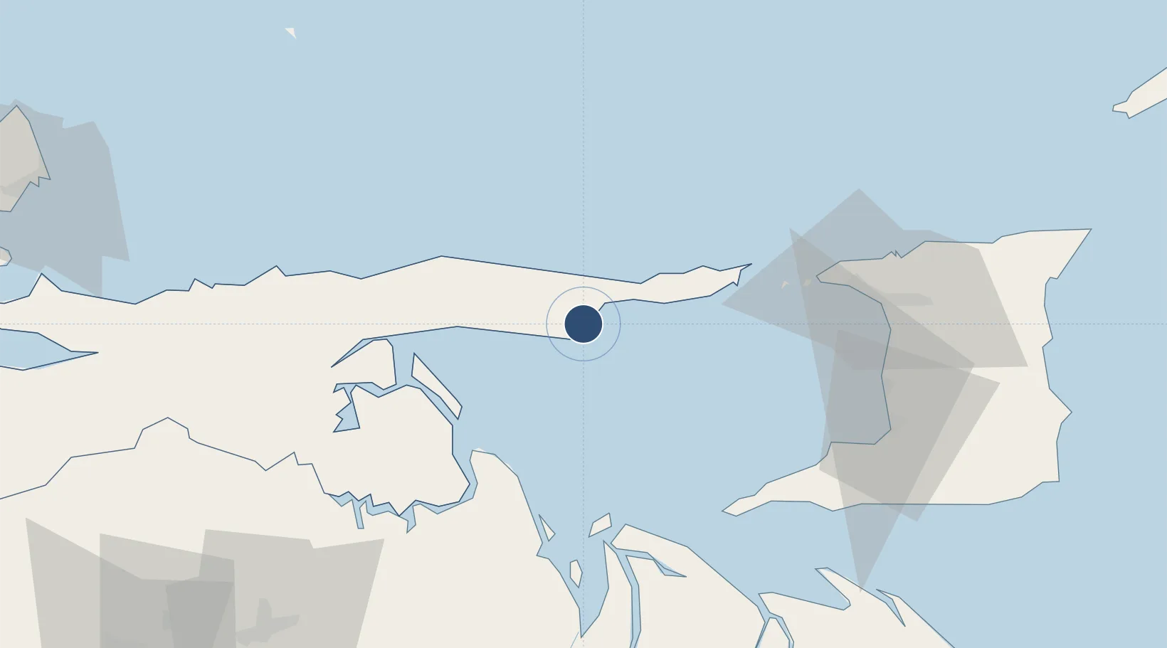
10.5741°, -62.3127°
6,585 ft
Longest runway
1
Runways
42 ft
Elevation
Runway & Layout

Radio Frequencies
TWR
118.2 MHz
Navaids
GUI NDB Guiria 370 kHz
Runways · 1
| Runway | Dimensions | Surface | True heading | Lit |
|---|---|---|---|---|
| 05/23 | 6,585 × 131ft | Asphalt | 033° | — |
Airport Specifications
IATA code
GUI
ICAO code
SVGI
Airport class
Medium airport
Scheduled service
No
Runway surface
Asphalt
Location
Nearby Logistics Neighbours
Airports
Cities
- 1Carenage79 km
- 2Diego Martin83 km
- 3Port-of-Spain87 km
- 4Laventille91 km
- 5Point Lisas92 km
Ports
- 1Guiria2 km
- 2Puerto De Hierro24 km
- 3Chaguaramas73 km
- 4Point Fortin79 km
- 5Anse Tembladora81 km
Trade Zones
- 1Point Fortin Industrial Park82 km
- 2Diamond Vale Industrial Park84 km
- 3Abbatoir88 km
- 4Sea Lots Industrial Park88 km
- 5East Dry River Industrial Park89 km
DatabookThe Record of Consolidated Knowledge
Venezuela beyond logistics?