Medium airport · Venezuela

General Francisco Bermúdez AirportSVCP
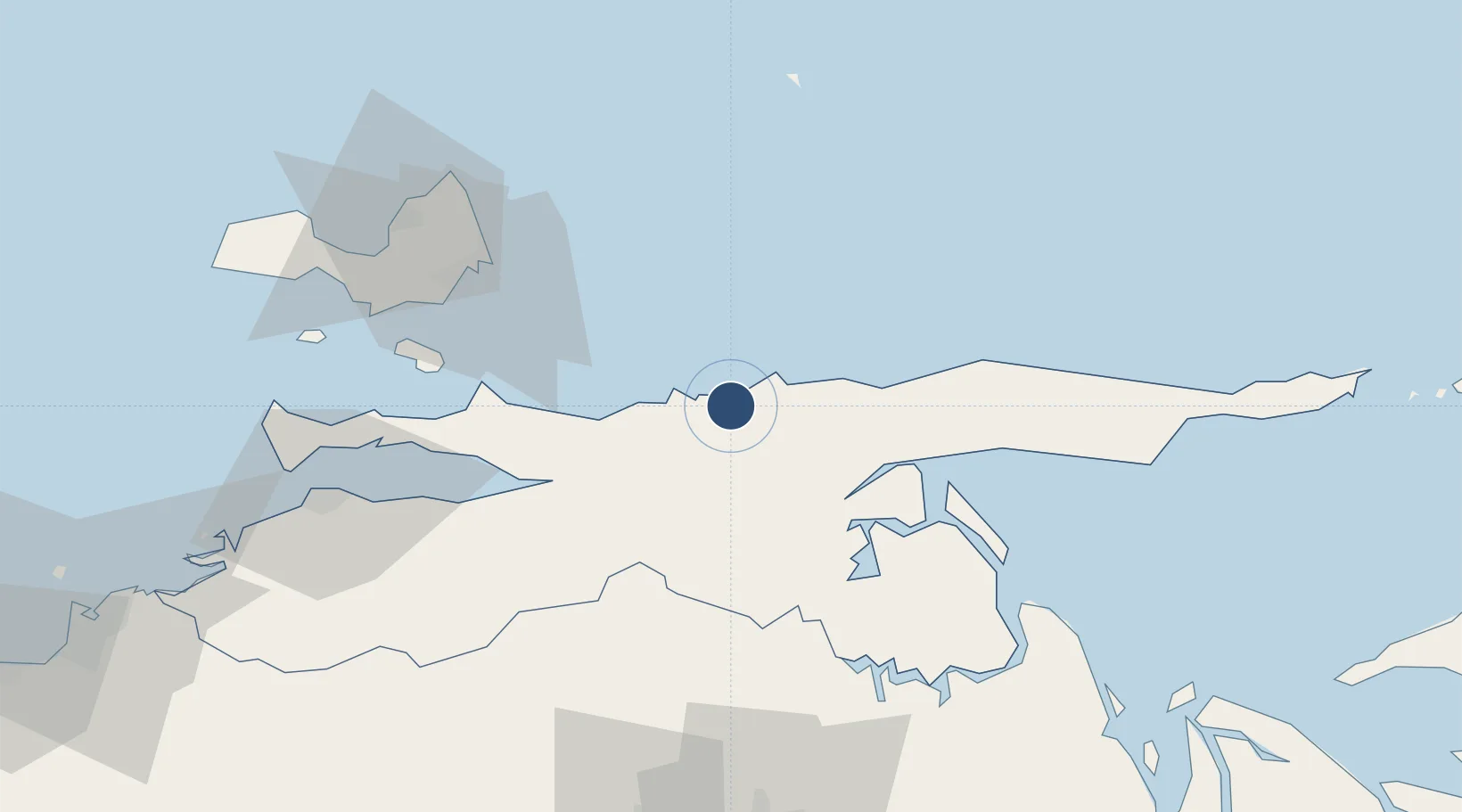
10.6600°, -63.2617°
6,611 ft
Longest runway
1
Runways
33 ft
Elevation

Runway & Layout

General Francisco Bermúdez Airport runway & taxiway layout
Runway & taxiway layout — OpenStreetMap (ODbL) / OurAirports

Radio Frequencies

TWR
122.4 MHz
CARUPANO TWR
OurAirports

Navaids

CUP NDB Carupano 270 kHz
OurAirports

Runways · 1

RunwayDimensions SurfaceTrue headingLit
17/35 6,611 × 148ft Asphalt 168°
OurAirports

Airport Specifications

IATA code
CUP
OurAirports
ICAO code
SVCP
OurAirports
Airport class
Medium airport
OurAirports
Scheduled service
Yes
OurAirports
Runway surface
Asphalt
OurAirports
Served city
Carúpano
OurAirports

Location

Location of SVCP
Natural Earth 10m (public domain) · Sucre · SVCP · 10.66, -63.26GoogleOSMYandex

Nearby Logistics Neighbours

Airports
  1. 1Andrés Miguel Salazar Marcano Airport80 km
  2. 2Del Caribe Santiago Mariño International Airport82 km
  3. 3Antonio José de Sucre Airport98 km
  4. 4José Tadeo Monagas International Airport102 km
  5. 5Guiria Airport104 km
Nearest neighbours — logibook spatial index (haversine) over the source coordinates
Cities
  1. 1Caripito64 km
  2. 2La Asuncion80 km
  3. 3Agua de Vaca86 km
  4. 4Puerto Carenero101 km
  5. 5Punta de Mata113 km
Nearest neighbours — logibook spatial index (haversine) over the source coordinates
Ports
  1. 1Carupano5 km
  2. 2Caripito62 km
  3. 3El Guamache95 km
  4. 4Cumana (Puerto Sucre)103 km
  5. 5Guiria106 km
Nearest neighbours — logibook spatial index (haversine) over the source coordinates
Trade Zones
  1. 1Free Port of the Nueva Esparta State90 km
  2. 2Zona Franca Industrial, Comercial y de Servicios de Cumaná105 km
  3. 3Point Fortin Industrial Park181 km
  4. 4Diamond Vale Industrial Park186 km
  5. 5Abbatoir191 km
Nearest neighbours — logibook spatial index (haversine) over the source coordinates
DatabookThe Record of Consolidated Knowledge
Venezuela beyond logistics?
Browse databook

All Sources

AirportsOurAirports
Public domain
Portsthe NGA World Port Index
Public domain (US gov)
LocationsUN/LOCODE
UN/LOCODE — free
Trade Zonesthe World Bank SEZ database
CC BY 4.0
Trade ZonesOpen Zone Map
CC BY
InfrastructureOpenStreetMap
ODbL 1.0
← Venezuela airports