Free Trade Zone · Trinidad & Tobago

Oldendorff Carriers Transshipment Zone Active
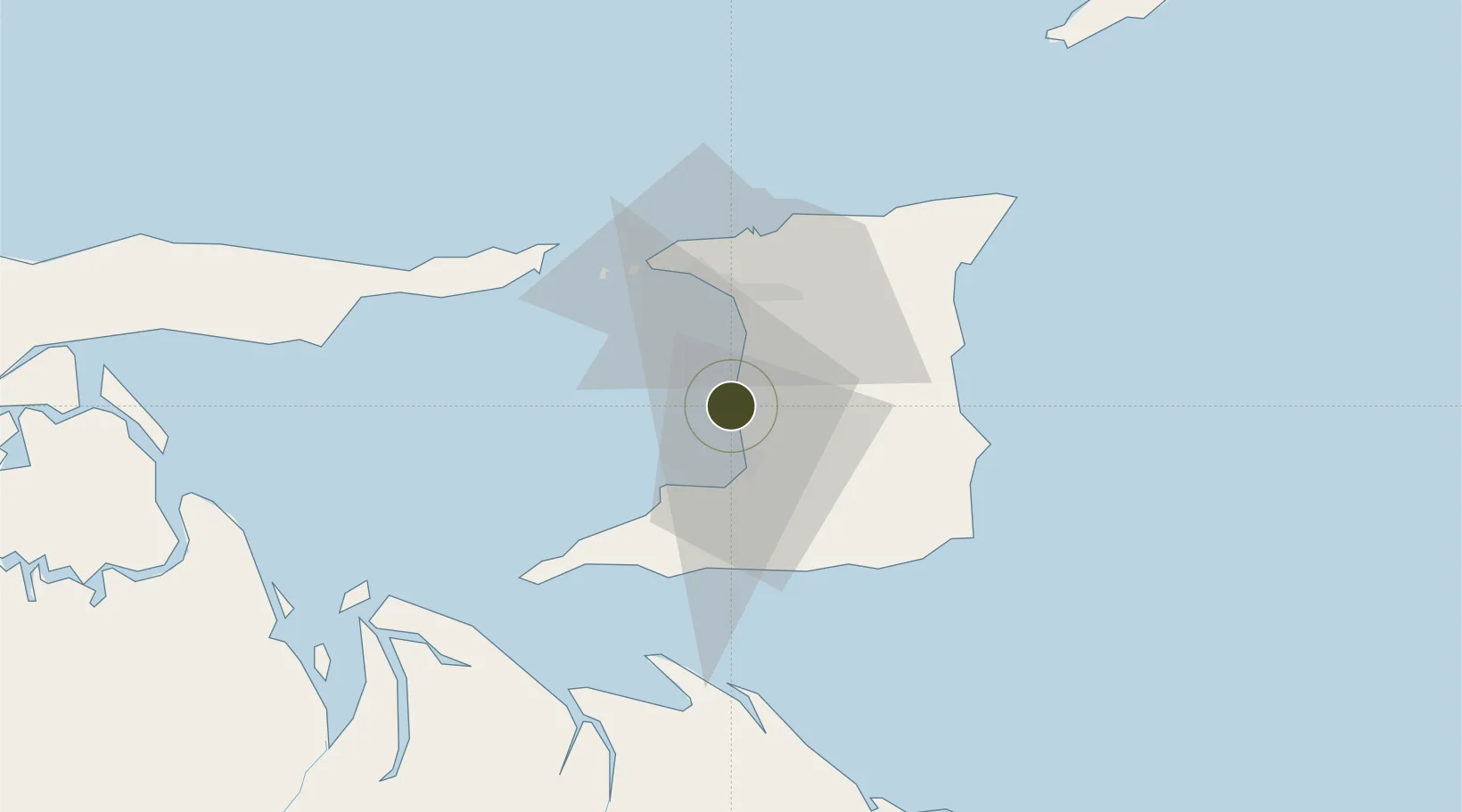
10.4084°, -61.4937°
70 ha
Zone area
1.2 km
Nearest port
27.1 km
Nearest airport

Gateway access

Nearest neighbours — logibook spatial index (haversine) over the source coordinates

Zone profile

Zone type
Free Trade Zone
Open Zone Map
Status
Active
Open Zone Map
Management
Public-Private Partnership
Open Zone Map
Operator
Oldendorff Carriers Trinidad & Tobago Limited (OCTTL)
Open Zone Map
Legal framework
1988 Free Zone Act - Trinidad and Tobago Free Zones Act
Open Zone Map

Location

Location of ozm-4534
Natural Earth 10m (public domain) · ozm-4534 · 10.41, -61.49GoogleOSMYandex

Nearby Logistics Neighbours

Ports
  1. 1Point Lisas Port1 km
  2. 2Pointe A Pierre11 km
  3. 3Brighton23 km
  4. 4Port Of Spain27 km
  5. 5Anse Tembladora32 km
Nearest neighbours — logibook spatial index (haversine) over the source coordinates
Airports
  1. 1Piarco International Airport27 km
  2. 2Guiria Airport91 km
  3. 3A.N.R. Robinson International Airport110 km
  4. 4Tucupita Airport161 km
  5. 5Maurice Bishop International Airport180 km
Nearest neighbours — logibook spatial index (haversine) over the source coordinates
Cities
  1. 1Point Lisas0 km
  2. 2Couva5 km
  3. 3Claxton Bay7 km
  4. 4Freeport10 km
  5. 5Princes Town20 km
Nearest neighbours — logibook spatial index (haversine) over the source coordinates
Trade Zones
  1. 1Point Lisas Industrial Park2 km
  2. 2Plaisance Industrial Park9 km
  3. 3Phoenix Park Industrial Estate9 km
  4. 4Chase Village Industrial Park12 km
  5. 5Harmony Hall Industrial Park13 km
Nearest neighbours — logibook spatial index (haversine) over the source coordinates
DatabookThe Record of Consolidated Knowledge
Trinidad & Tobago beyond logistics?
Browse databook

All Sources

Trade ZonesOpen Zone Map
CC BY
Portsthe NGA World Port Index
Public domain (US gov)
AirportsOurAirports
Public domain
LocationsUN/LOCODE
UN/LOCODE — free
← Trinidad & Tobago trade zones