Small airport · Venezuela

Andrés Miguel Salazar Marcano AirportSVIE
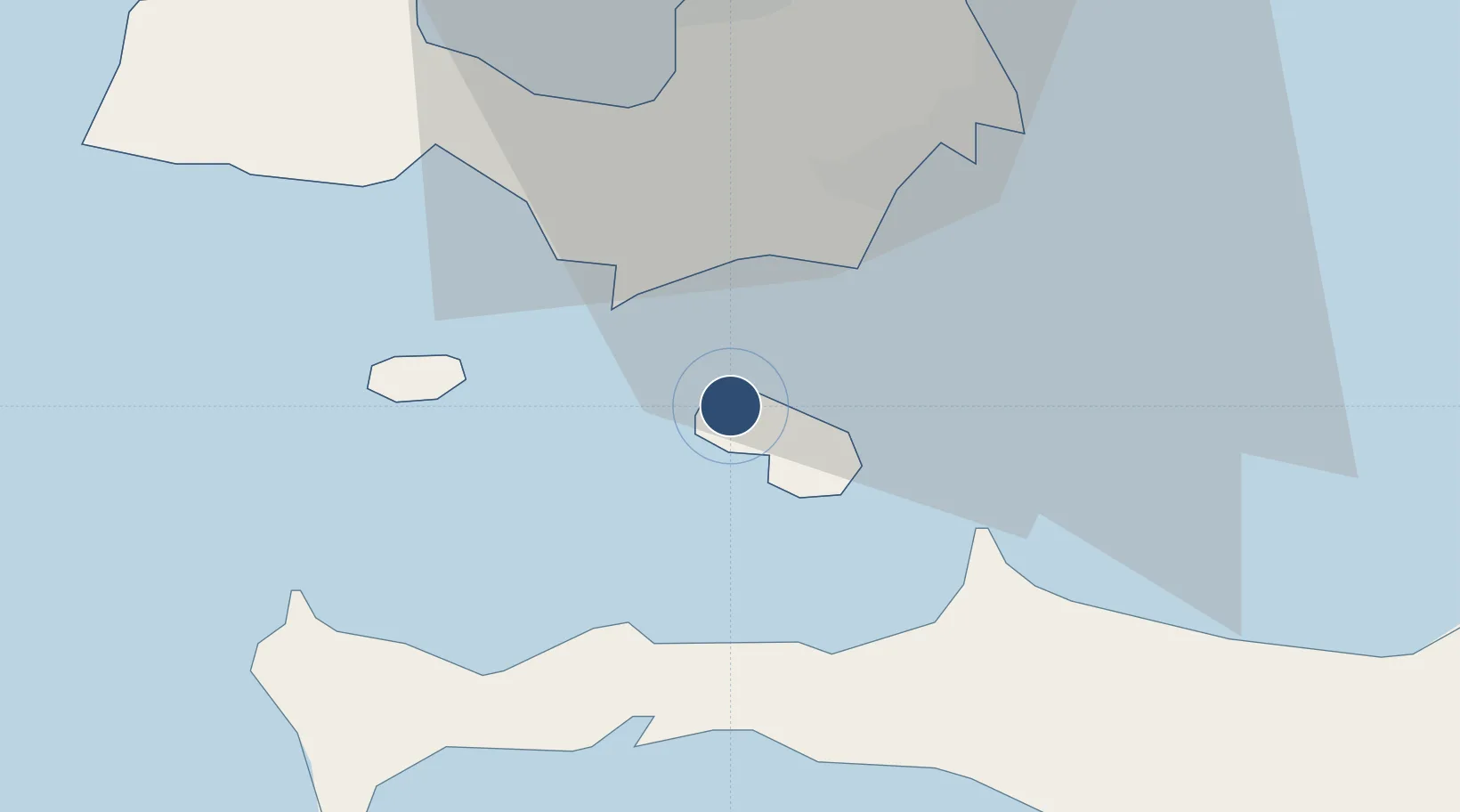
10.7944°, -63.9816°
3,937 ft
Longest runway
1
Runways
10 ft
Elevation

Runway & Layout

Andrés Miguel Salazar Marcano Airport runway & taxiway layout
Runway & taxiway layout — OpenStreetMap (ODbL) / OurAirports

Runways · 1

RunwayDimensions SurfaceTrue headingLit
09/27 3,937 × 98ft Asphalt 087°
OurAirports

Airport Specifications

IATA code
ICC
OurAirports
ICAO code
SVIE
OurAirports
Airport class
Small airport
OurAirports
Scheduled service
Yes
OurAirports
Runway surface
Asphalt
OurAirports
Served city
Isla de Coche
OurAirports

Location

Location of SVIE
Natural Earth 10m (public domain) · Nueva Esparta · SVIE · 10.79, -63.98GoogleOSMYandex

Nearby Logistics Neighbours

Cities
  1. 1Agua de Vaca23 km
  2. 2La Asuncion29 km
  3. 3Puerto Carenero40 km
  4. 4Guanta91 km
  5. 5El Chaure92 km
Nearest neighbours — logibook spatial index (haversine) over the source coordinates
Ports
  1. 1El Guamache18 km
  2. 2Cumana (Puerto Sucre)43 km
  3. 3Carupano81 km
  4. 4Bahia De Pertigalete89 km
  5. 5Guanta89 km
Nearest neighbours — logibook spatial index (haversine) over the source coordinates
Trade Zones
  1. 1Free Port of the Nueva Esparta State12 km
  2. 2Zona Franca Industrial, Comercial y de Servicios de Cumaná46 km
  3. 3Point Fortin Industrial Park260 km
  4. 4Diamond Vale Industrial Park264 km
  5. 5Abbatoir270 km
Nearest neighbours — logibook spatial index (haversine) over the source coordinates
DatabookThe Record of Consolidated Knowledge
Venezuela beyond logistics?
Browse databook

All Sources

AirportsOurAirports
Public domain
Portsthe NGA World Port Index
Public domain (US gov)
LocationsUN/LOCODE
UN/LOCODE — free
Trade Zonesthe World Bank SEZ database
CC BY 4.0
Trade ZonesOpen Zone Map
CC BY
InfrastructureOpenStreetMap
ODbL 1.0
← Venezuela airports