UN/LOCODE hub · Venezuela
VEADV

Agua de Vaca

11.0000°, -63.9667°
1
Transport functions

Transport Functions

Multimodal
UN/LOCODE

Hub Profile

Place type
Populated place
GeoNames
Region
Nueva Esparta
GeoNames
Time zone
America/Caracas
GeoNames
Elevation
99 m
GeoNames

Location

Location of VEADV
Natural Earth 10m (public domain) · Nueva Esparta · VEADV · 11.00, -63.97GoogleOSMYandex

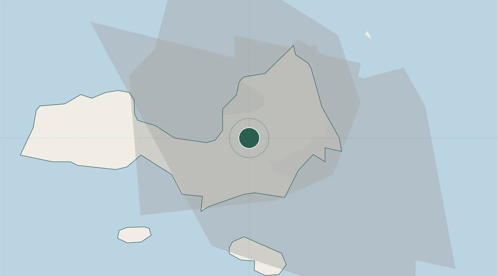
Nearby Logistics Neighbours

Cities
  1. 1La Asuncion10 km
  2. 2Puerto Carenero62 km
  3. 3Guanta108 km
  4. 4El Chaure110 km
  5. 5Petrozuata135 km
Nearest neighbours — logibook spatial index (haversine) over the source coordinates
Ports
  1. 1El Guamache18 km
  2. 2Cumana (Puerto Sucre)64 km
  3. 3Carupano85 km
  4. 4Guanta107 km
  5. 5Bahia De Pertigalete108 km
Nearest neighbours — logibook spatial index (haversine) over the source coordinates
Trade Zones
  1. 1Free Port of the Nueva Esparta State18 km
  2. 2Zona Franca Industrial, Comercial y de Servicios de Cumaná67 km
  3. 3Diamond Vale Industrial Park264 km
  4. 4Point Fortin Industrial Park266 km
  5. 5Abbatoir271 km
Nearest neighbours — logibook spatial index (haversine) over the source coordinates
DatabookThe Record of Consolidated Knowledge
Venezuela beyond logistics?
Browse databook

All Sources

LocationsUN/LOCODE
UN/LOCODE — free
Portsthe NGA World Port Index
Public domain (US gov)
AirportsOurAirports
Public domain
Trade Zonesthe World Bank SEZ database
CC BY 4.0
Trade ZonesOpen Zone Map
CC BY
← Venezuela locations