Medium airport · Venezuela

Antonio José de Sucre AirportSVCU
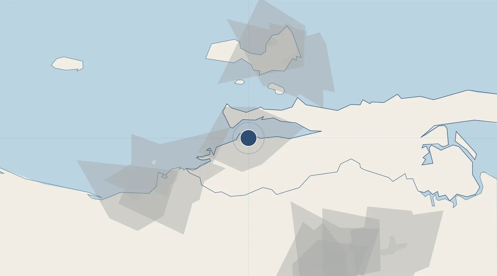
10.4503°, -64.1305°
10,171 ft
Longest runway
1
Runways
14 ft
Elevation

Runway & Layout

Antonio José de Sucre Airport runway & taxiway layout
Runway & taxiway layout — OpenStreetMap (ODbL) / OurAirports

Radio Frequencies

ATIS
113.3 MHz
TWR
118.9 MHz
CUMANA TWR
GND
121.9 MHz
OurAirports

Navaids

CUM VOR-DME Cumana 113.30 MHz
OurAirports

Runways · 1

RunwayDimensions SurfaceTrue headingLit
08/26 10,171 × 148ft Asphalt 062°
OurAirports

Airport Specifications

IATA code
CUM
OurAirports
ICAO code
SVCU
OurAirports
Airport class
Medium airport
OurAirports
Scheduled service
Yes
OurAirports
Runway surface
Asphalt
OurAirports
Served city
Cumaná
OurAirports

Location

Location of SVCU
Natural Earth 10m (public domain) · Sucre · SVCU · 10.45, -64.13GoogleOSMYandex

Nearby Logistics Neighbours

Cities
  1. 1Puerto Carenero5 km
  2. 2Guanta56 km
  3. 3El Chaure58 km
  4. 4Agua de Vaca64 km
  5. 5La Asuncion70 km
Nearest neighbours — logibook spatial index (haversine) over the source coordinates
Ports
  1. 1Cumana (Puerto Sucre)6 km
  2. 2El Guamache50 km
  3. 3Bahia De Pertigalete54 km
  4. 4Guanta54 km
  5. 5Puerto La Cruz59 km
Nearest neighbours — logibook spatial index (haversine) over the source coordinates
Trade Zones
  1. 1Zona Franca Industrial, Comercial y de Servicios de Cumaná7 km
  2. 2Free Port of the Nueva Esparta State47 km
  3. 3Guarenas-Guatire Special Economic Zone269 km
  4. 4Point Fortin Industrial Park269 km
  5. 5Diamond Vale Industrial Park282 km
Nearest neighbours — logibook spatial index (haversine) over the source coordinates
DatabookThe Record of Consolidated Knowledge
Venezuela beyond logistics?
Browse databook

All Sources

AirportsOurAirports
Public domain
Portsthe NGA World Port Index
Public domain (US gov)
LocationsUN/LOCODE
UN/LOCODE — free
Trade Zonesthe World Bank SEZ database
CC BY 4.0
Trade ZonesOpen Zone Map
CC BY
InfrastructureOpenStreetMap
ODbL 1.0
← Venezuela airports