Transport Functions
Port
Road
Airport
Hub Profile
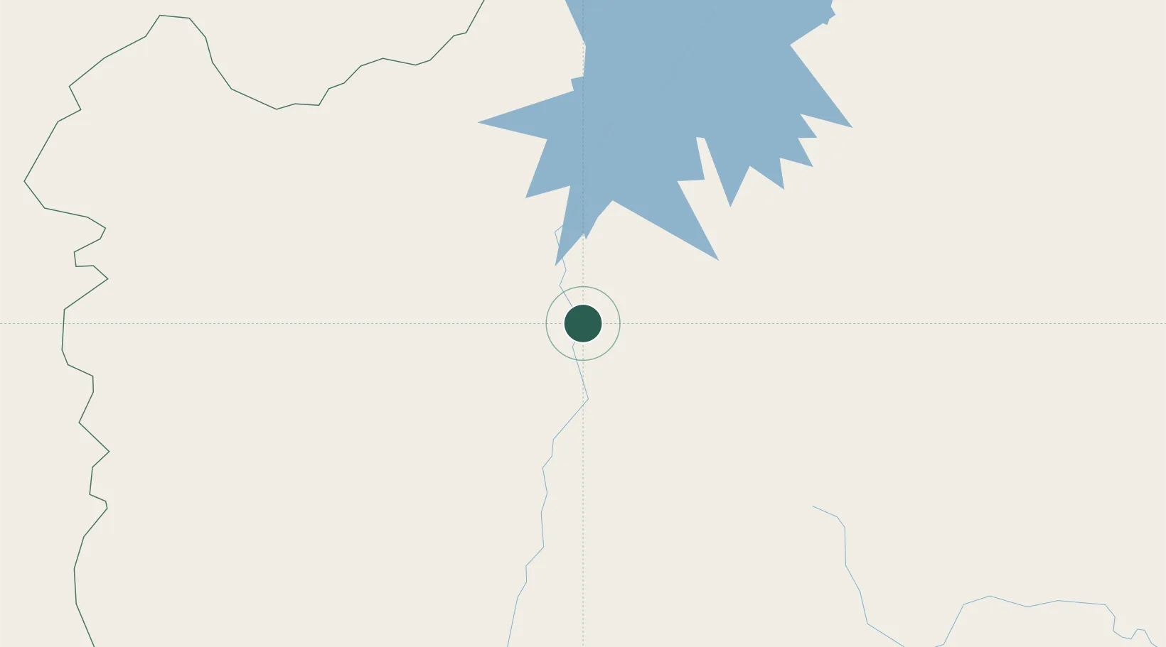
Place type
Populated place
Region
Bahia
Population
26,309
Time zone
America/Bahia
Elevation
426 m
Location
Nearby Logistics Neighbours
Cities
- 1Barra123 km
- 2Xique-Xique161 km
- 3Brumado280 km
- 4Cuenca del Plata288 km
- 5Campo Formoso367 km
Ports
- 1Madre De Deus503 km
- 2Aratu516 km
- 3Port De Salvador518 km
- 4Port Of Ilheus538 km
- 5Port De Aracaju686 km
Airports
Trade Zones
- 1Zona Franca Ilhéus (BA)500 km
- 2ZPE de Teófilo Otoni (MG)659 km
- 3ZPE de Barra dos Coqueiros (SE)689 km
- 4ZPE de Araguaína (TO)781 km
- 5ZPE de Aracruz (ES)907 km
DatabookThe Record of Consolidated Knowledge
Brazil beyond logistics?