Small airport · Brazil
Coronel Horácio de Mattos AirportSBLE
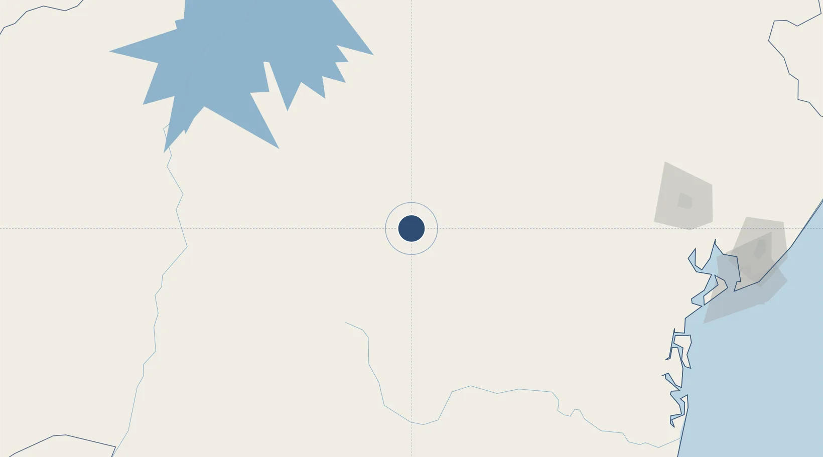
-12.4823°, -41.2770°
6,831 ft
Longest runway
1
Runways
1,676 ft
Elevation
Runway & Layout

Radio Frequencies
RDO
131.75 MHz
Navaids
LEN NDB Lencois 235 kHz
Runways · 1
| Runway | Dimensions | Surface | True heading | Lit |
|---|---|---|---|---|
| 14/32 | 6,831 × 98ft | Asphalt | — | — |
Airport Specifications
IATA code
LEC
ICAO code
SBLE
Airport class
Small airport
Scheduled service
Yes
Runway surface
Asphalt
Served city
Lençóis
Location
Nearby Logistics Neighbours
Airports
- 1Fazenda Rosa do Deserto Airstrip185 km
- 2Bom Jesus da Lapa Airport247 km
- 3João Durval Carneiro Airport259 km
- 4Valença Airport264 km
- 5Glauber de Andrade Rocha Airport273 km
Cities
- 1Brumado196 km
- 2Ibotirama213 km
- 3Xique-Xique243 km
- 4Campo Formoso244 km
- 5Itiúba253 km
Ports
- 1Madre De Deus290 km
- 2Aratu303 km
- 3Port De Salvador304 km
- 4Port Of Ilheus354 km
- 5Port De Aracaju492 km
Trade Zones
- 1Zona Franca Ilhéus (BA)316 km
- 2ZPE de Barra dos Coqueiros (SE)495 km
- 3ZPE de Teófilo Otoni (MG)599 km
- 4ZPE de Aracruz (ES)818 km
- 5ZPE de Suape (PE)826 km
DatabookThe Record of Consolidated Knowledge
Brazil beyond logistics?