Medium airport · Brazil

Bom Jesus da Lapa AirportSBLP
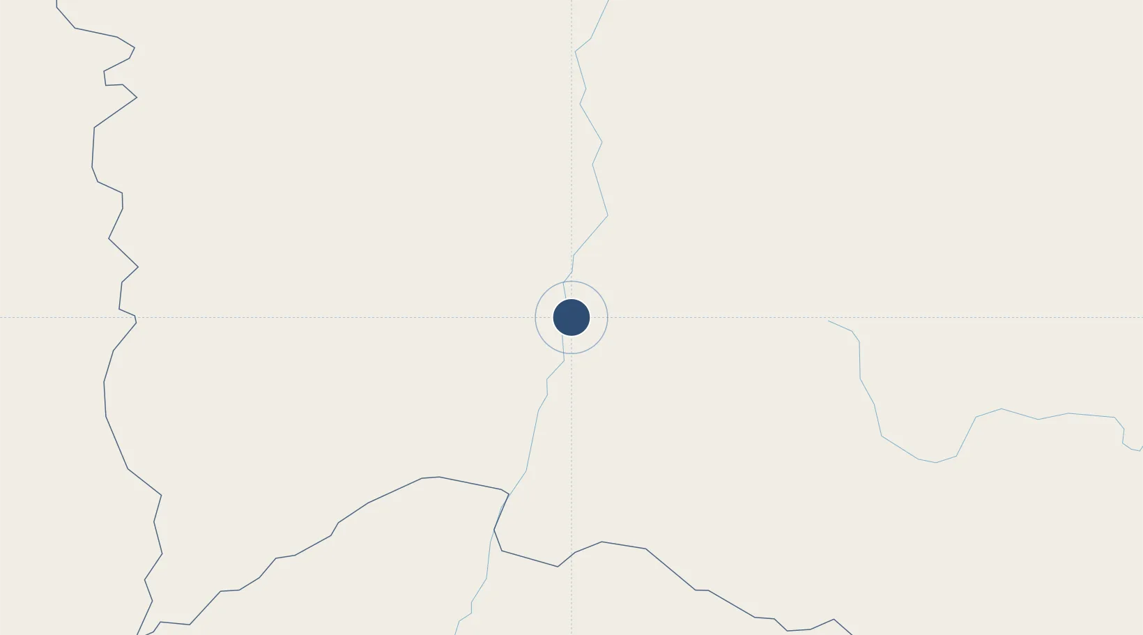
-13.2621°, -43.4081°
3,973 ft
Longest runway
1
Runways
1,454 ft
Elevation

Runway & Layout

Bom Jesus da Lapa Airport runway & taxiway layout
Runway & taxiway layout — OpenStreetMap (ODbL) / OurAirports

Radio Frequencies

AFIS
125.9 MHz
LAPA RDO
OurAirports

Navaids

LAP VOR-DME Lapa 113.70 MHz
LAP NDB Lapa 320 kHz
OurAirports

Runways · 1

RunwayDimensions SurfaceTrue headingLit
18/36 3,973 × 98ft Asphalt
OurAirports

Airport Specifications

IATA code
LAZ
OurAirports
ICAO code
SBLP
OurAirports
Airport class
Medium airport
OurAirports
Scheduled service
No
OurAirports
Runway surface
Asphalt
OurAirports
Served city
Bom Jesus da Lapa
OurAirports

Location

Location of SBLP
Natural Earth 10m (public domain) · Bahia · SBLP · -13.26, -43.41GoogleOSMYandex

Nearby Logistics Neighbours

Airports
  1. 1Dom Ricardo Weberberger Airport218 km
  2. 2Coronel Horácio de Mattos Airport247 km
  3. 3Glauber de Andrade Rocha Airport325 km
  4. 4Mário Ribeiro Airport386 km
  5. 5Fazenda Rosa do Deserto Airstrip395 km
Nearest neighbours — logibook spatial index (haversine) over the source coordinates
Cities
  1. 1Ibotirama122 km
  2. 2Cuenca del Plata169 km
  3. 3Brumado215 km
  4. 4Barra244 km
  5. 5Xique-Xique282 km
Nearest neighbours — logibook spatial index (haversine) over the source coordinates
Ports
  1. 1Port Of Ilheus503 km
  2. 2Madre De Deus522 km
  3. 3Port De Salvador531 km
  4. 4Aratu534 km
  5. 5Port De Aracaju739 km
Nearest neighbours — logibook spatial index (haversine) over the source coordinates
Trade Zones
  1. 1Zona Franca Ilhéus (BA)466 km
  2. 2ZPE de Teófilo Otoni (MG)552 km
  3. 3ZPE de Barra dos Coqueiros (SE)741 km
  4. 4ZPE de Aracruz (ES)805 km
  5. 5ZPE de Araguaína (TO)857 km
Nearest neighbours — logibook spatial index (haversine) over the source coordinates
DatabookThe Record of Consolidated Knowledge
Brazil beyond logistics?
Browse databook

All Sources

AirportsOurAirports
Public domain
Portsthe NGA World Port Index
Public domain (US gov)
LocationsUN/LOCODE
UN/LOCODE — free
Trade Zonesthe World Bank SEZ database
CC BY 4.0
Trade ZonesOpen Zone Map
CC BY
InfrastructureOpenStreetMap
ODbL 1.0
← Brazil airports