Small airport · Brazil
Dom Ricardo Weberberger AirportSNBR
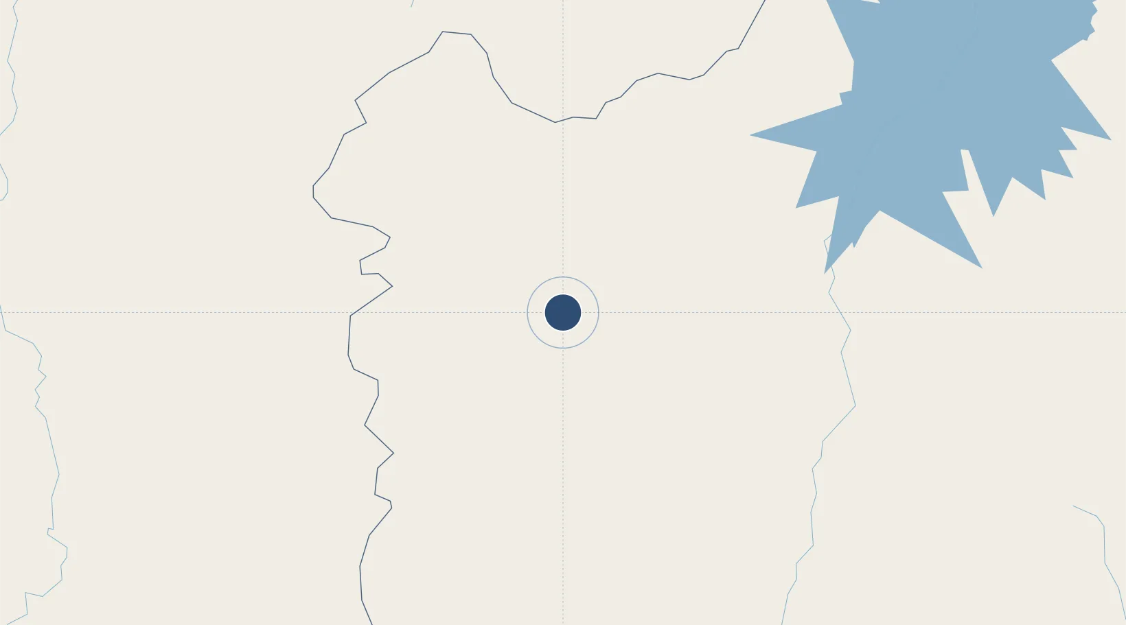
-12.0789°, -45.0090°
5,249 ft
Longest runway
1
Runways
2,451 ft
Elevation
Runway & Layout

Navaids
BRR VOR Barreiras 114.30 MHz
BRR NDB Barreiras 375 kHz
Runways · 1
| Runway | Dimensions | Surface | True heading | Lit |
|---|---|---|---|---|
| 8/26 | 5,249 × 98ft | Asphalt | — | — |
Airport Specifications
IATA code
BRA
ICAO code
SNBR
Airport class
Small airport
Scheduled service
Yes
Runway surface
Asphalt
Served city
Barreiras
Location
Nearby Logistics Neighbours
Airports
- 1Bom Jesus da Lapa Airport218 km
- 2Minaçu Airport382 km
- 3Porto Nacional Airport399 km
- 4Coronel Horácio de Mattos Airport408 km
- 5Brigadeiro Lysias Rodrigues Airport416 km
Cities
- 1Ibotirama195 km
- 2Barra232 km
- 3Xique-Xique287 km
- 4Cuenca del Plata298 km
- 5Porto Nacional400 km
Ports
- 1Madre De Deus698 km
- 2Aratu711 km
- 3Port De Salvador712 km
- 4Port Of Ilheus714 km
- 5Port De Aracaju877 km
Trade Zones
- 1ZPE de Araguaína (TO)649 km
- 2Zona Franca Ilhéus (BA)677 km
- 3ZPE de Teófilo Otoni (MG)747 km
- 4ZPE de Barra dos Coqueiros (SE)879 km
- 5ZPE de Uberaba (MG)905 km
DatabookThe Record of Consolidated Knowledge
Brazil beyond logistics?