Seaport · Brazil
Port De SalvadorBRSSA
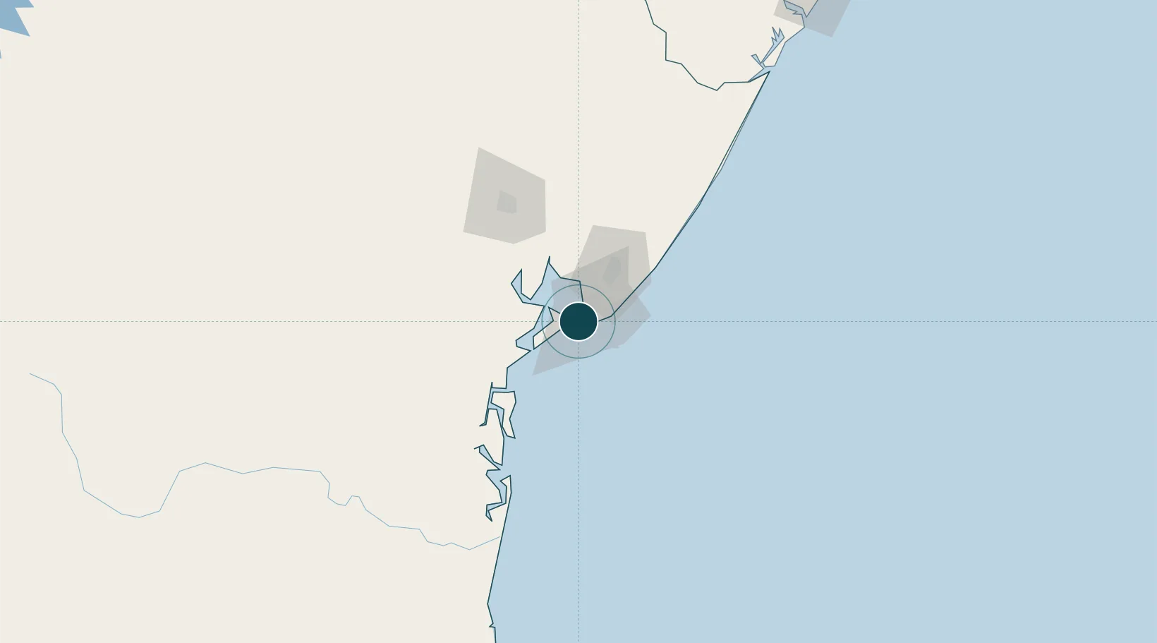
-12.9667°, -38.5167°
11.0 m
Channel depth
1
Container terminals
174.7
Port liner connectivity
Channel & Berth Profile
Pilotage, Tugs & Services
Pilotage availableYES
Tug assistanceYES
Salvage tugsNO
Potable waterYES
Diesel bunkersYES
MedicalYES
Garbage disposalYES
Facilities & Capabilities
Container—
Ro-Ro—
Liquid bulk—
Dry bulk—
Oil terminal—
Break bulk—
Dry dockNO
RepairsNO
BunkeringYES
Rail linkYES
Dangerous cargo—
ISPS security—
Harbour Specifications
Harbour size
Medium
Harbour type
Coastal (Breakwater)
Shelter
Good
Water body
South Atlantic Ocean
Tidal range
2 m
Overhead limit
Yes
Liner Connectivity
174.7
PLSCI
Port Liner Shipping Connectivity Index for Port De Salvador, as published by UNCTAD for the latest available quarter. Higher values indicate stronger scheduled liner-shipping integration.
Shown relative to the highest per-port PLSCI in the dataset (1,657.9).
Location
Container Terminals · 1
TECON SALVADOR SA
TECSV
Nearby Logistics Neighbours
Ports
- 1Aratu21 km
- 2Madre De Deus26 km
- 3Port Of Ilheus209 km
- 4Port De Aracaju278 km
- 5Porto De Maceio476 km
Cities
- 1Simões Filho18 km
- 2Aratu Pt / Candeias21 km
- 3Madre de Deus28 km
- 4Candeias33 km
- 5Camaçari38 km
Airports
Trade Zones
- 1Zona Franca Ilhéus (BA)198 km
- 2ZPE de Barra dos Coqueiros (SE)281 km
- 3ZPE de Teófilo Otoni (MG)631 km
- 4ZPE de Suape (PE)639 km
- 5ZPE de João Pessoa (PB)756 km
DatabookThe Record of Consolidated Knowledge
Brazil beyond logistics?